
Difficulty: easy
Total Mileage/Elevation: by choice, this is not a big area, but we managed to walk 1.5 miles there.
Location: East of Walsh, CO
This Trail is Good for: Birding, hunting, hiking
Dispersed Camping Nearby: Comanche National Grasslands, or in the parking area for this SWA
Forest Service Campground Nearby: Picture Canyon
Pets: yes, under control
Duration of Hike: as long as you want. We spent about two-three hours hiking around and eating lunch.
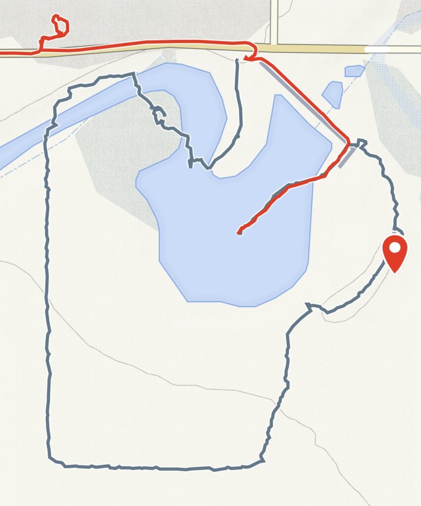
Possible Loops: We walked the outside of the SWA
Time of Year I Hiked the Trail: January
Time to Nearest Town: 15min to Walsh
Condition of Approach Roads: Good paved and good gravel roads
Permits Needed: You need a State Wildlife Stamp or Hunting or Fishing License to legally access this area. I got a one day permit for $9 at Big R in Springfield, but will get a fishing license for future access to SWA’s. Have it with you!
Directions to the Trailhead
Take Hwy 160 from Springfield, and just as you are entering town take County Rd DD to the east through town and out the east side and just stay on it for 11 miles. This County Rd goes right past Burchfield.
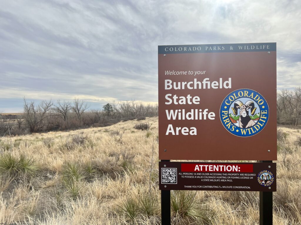
Burchfield SWA
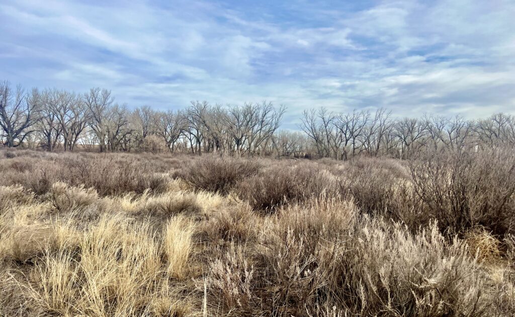
At 178 acres, the area is not vast, but takes advantage of an old dam constructed along the Sand Arroyo Creek drainage. As a consequence there is a good stand of large cottonwood trees at the northern end of the SWA with mostly sage in the southern portion. Elevation is approx. 3,600ft.
There are really not “trails” at this location, but there are some social trails from the parking area that lead into the SWA. Then there are wildlife trails that weave through the bottomlands and through the sage.
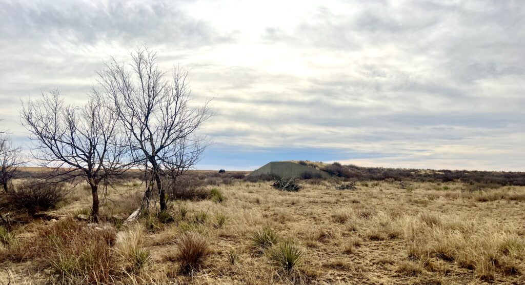
We did a very unscientific walk around the outer edge of the SWA to get a feeling for it. We ended up over where there are some old earthwork and dam like structures.
There are lots of large cottonwood trees in the bottomlands which is part of the area that would collect water when Sand Arroyo creek runs with water. It was dry when we were there, but you can tell it has water at times. It would be possible to fish here if stocked when there was water. It is an activity listed on the Colorado Parks and Wildlife SWA webpage, so it must happen at times.
This would be a great place to bird during the spring migration, made even better if there were water at the time. It may hold some interesting birds regardless such as; Bobwhite, Dove, Pheasant, and Scaled Quail. We enjoyed seeing a new place and had a picnic there on a January day. You can tell it is mostly used for hunting, probably birds. We also enjoyed looking at the Konantz School building which is a prime example of WPA architecture. I wish there was something we could do to preserve this building as it is really really cool!