Trail Information
Total Mileage: 9.5-10 mi
Location: Westcliffe, CO
This Trail is Good for: Hiking, Backpacking, Horseback Riding, Lake & Fly Fishing (limited creek)
Pets: On Leash
Duration of Hike: 2-3 hrs to the first lake via the Swift Creek Trail. 15 min from the first lake to the third lake. Add an 1-1.5 hrs via the Lake of the Clouds Trail. Approx the same return time.
No: Bikes or ATV’s on the Swift Creek Trail – The Rainbow Trail is Ok.
Possible Loops: With Lakes of the Clouds Trail Or climb over a ridge into an adjacent drainage if you go off trail.
Time of Year I Hiked the Trail: Aug 19, 2017
Long story short I ended up hiking the Lakes of the Clouds Trail…..Again! Ha! I kept thinking I had wanted to and had not yet hiked it. I was wrong. I hiked this trail with Heather in September of 2014. SO there is a previous post about this hike too. It was much greener this time! This hike is supposedly one of the best in Colorado. It is a good hike and the lakes are beautiful, but I would rate it at a 7 of 10. My reasoning would be the lack of views on the way up and even when you reach the lakes you can not look back down the mountain. The creek is only crossed once on the way up and there is a lot of brush to limit fishing opportunities. There are not many meadows or open spaces on the trail.
The trail is not hard to find but in my research I did not find any specific driving instructions so I will give some here:
Directions to the Trailhead
From Westcliffe head west on Hermit Rd or CR 160. You find it as you come into town from the south. It is on the west (of course) side of the road right on the south edge of town and you can look down it and see that it goes all the way to the mountains. Turn and drive down this road until you are getting close to the mountains and come to CR 171 which you will turn north or right onto. Take CR 171 until you see CR 172 which you will turn left or mostly west onto. It takes a bend and ends up at the Gibson Trailhead.
Nearest Town: Approximately 15-20 minutes from the town of Westcliffe.
Condition of Approach Roads: You can get there in a car, well maintained gravel roads to the trailhead.
Trail Description

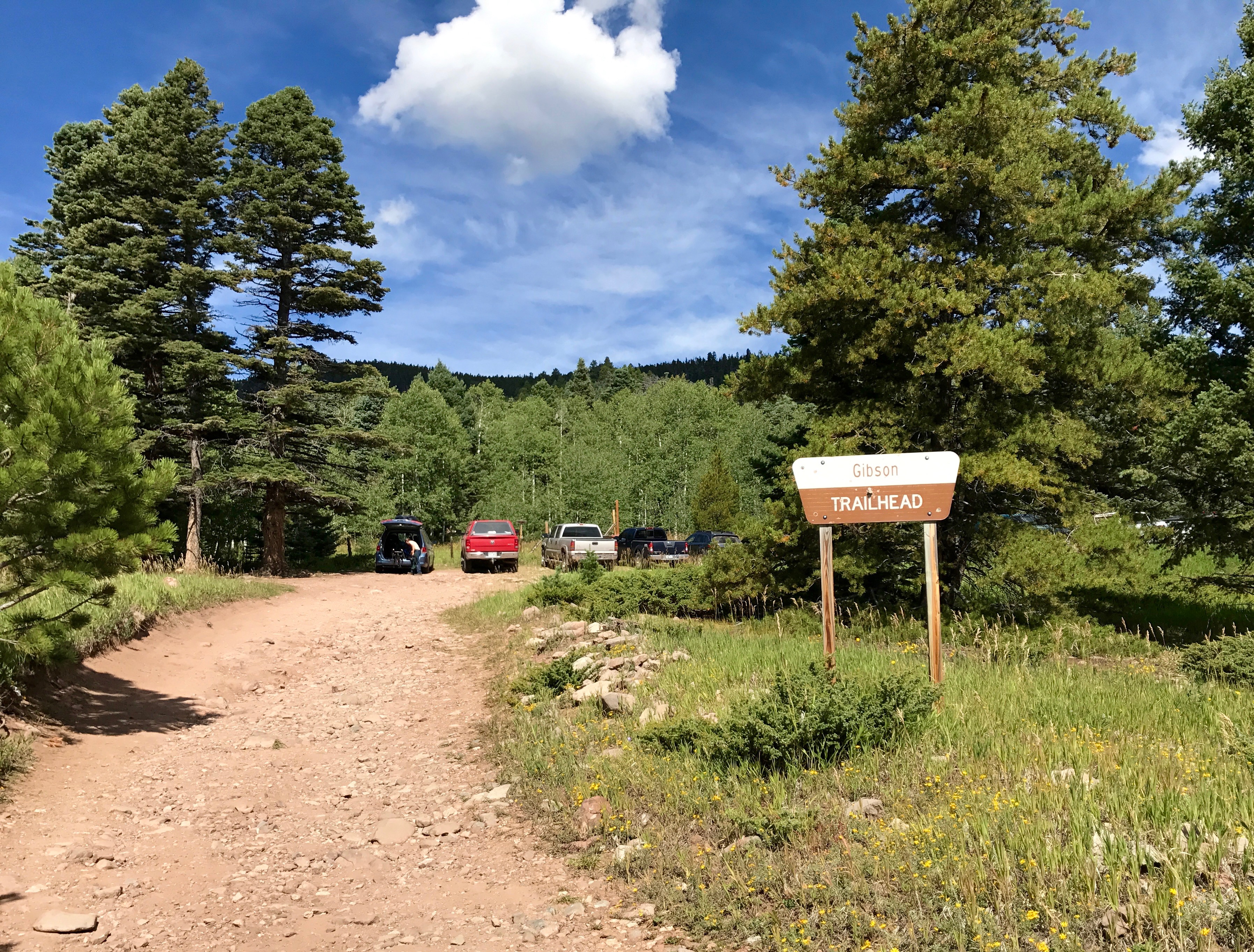
There are two parking lots here a lower one, where mostly horse trailers or larger RV’s can park, or an upper one where SUV’s, cars or pickups can easily park. There are several dispersed campsites around the area if you want to tent here. From here there are many smaller trails that wind up the mountain until you hit the rainbow trail (.1mi?). Trust me you’ll know. Its big – big enough for ATV’s to drive on.

There is also a trail that takes off from the north side of the lower parking lot and heads across a meadow to intersect the rainbow trail a bit to the north. Either way you do it – get to the Rainbow trail and turn north. One of the best views of the whole trail comes shortly after you take off to the north as you can look out on the whole of the Westcliffe Valley stretched out below you. From the Gibson Trail head you’ll go about a .75-.8 mi north before you hit the intersection to the Swift Creek Trail.
There is a decent camp spot near the intersection of the Rainbow Trail and and the Swift Creek trail in the upside of the trail intersection. Shortly after you turn on this trail is a register to sign for the Forest Service. The trail pretty much goes up from here with a total elevation gain of approx 2800 feet over the next 3.5-3.75 miles. The sign says 2.25miles to the lakes – but I’m pretty sure it lies. My GPS told me I had gone 4.5 miles by the time I got to the first lake (including the .75 mile approach on the Rainbow Trail). Even with discrepancy between GPS readings- this is a significant difference! Most other trip reports I read also collude this with mileages of 4.5-5 miles to the lakes. If you go by the Lakes of the Clouds Trail it would be at least a couple of miles farther.
It is a steady occasionally steep trail that is full of rocks.

It is easier to go up this trail than to come down it. Or at least I was careful coming down with the easy potential to turn an ankle as you do. It took me approx. the same time to hike up as it did to hike down. As a side note this is also a popular horse trail and is maintained to that point. So it is never too rugged!

The trail starts out in the pine timber and graduates slowly as you climb up to aspens and about .75-1 mile up the Swift creek trail it levels out a bit until you hit Swift Creek and cross it.
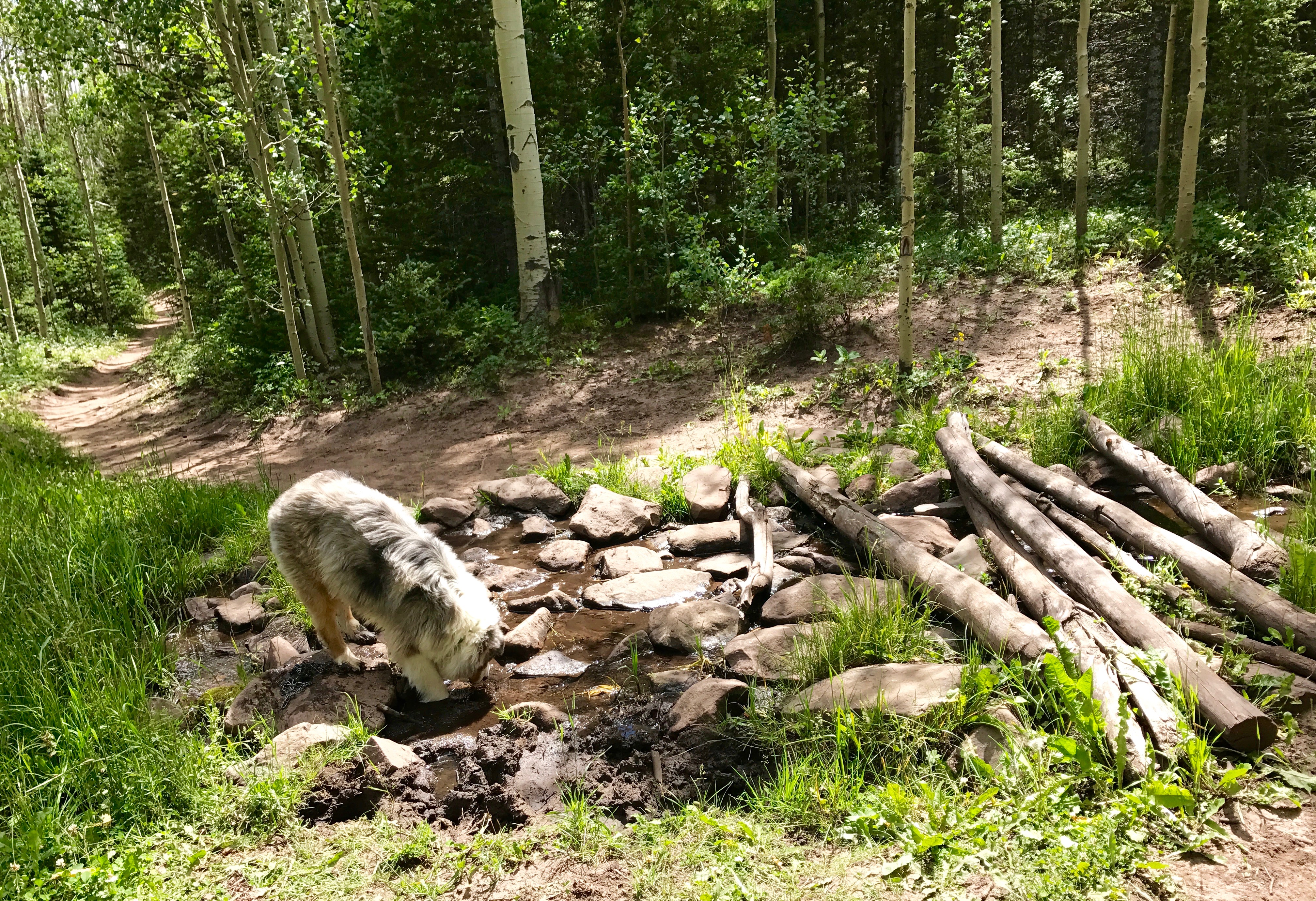
The first crossing you come to is not the creek, but the creek is a bit farther on and much wider as it winds through the trees. You can cross here over a series of logs (or just wade!), but the trail has been re-routed a bit up stream from where the trail out at on the creek. If you follow the creek bank on a trail up stream for a hundred yards or so the crossing is much easier and narrower. There are logs over the creek here too for foot traffic. If you are horseback – the first creek crossing is fine!
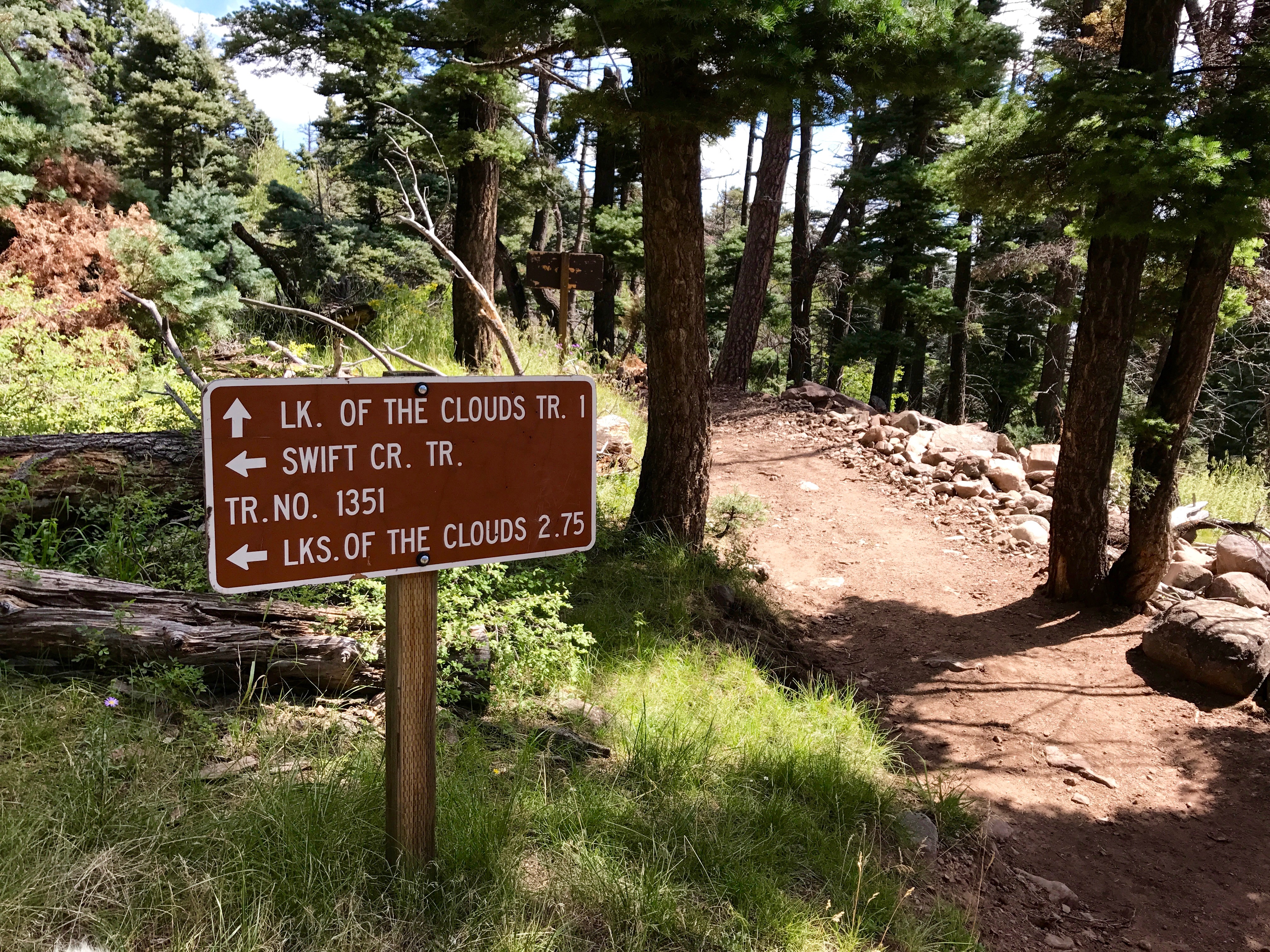
Then it is again a steady sometimes steep and rocky trail for the next .75-1 mile to the trail intersection with the Lakes of the Clouds Trail.
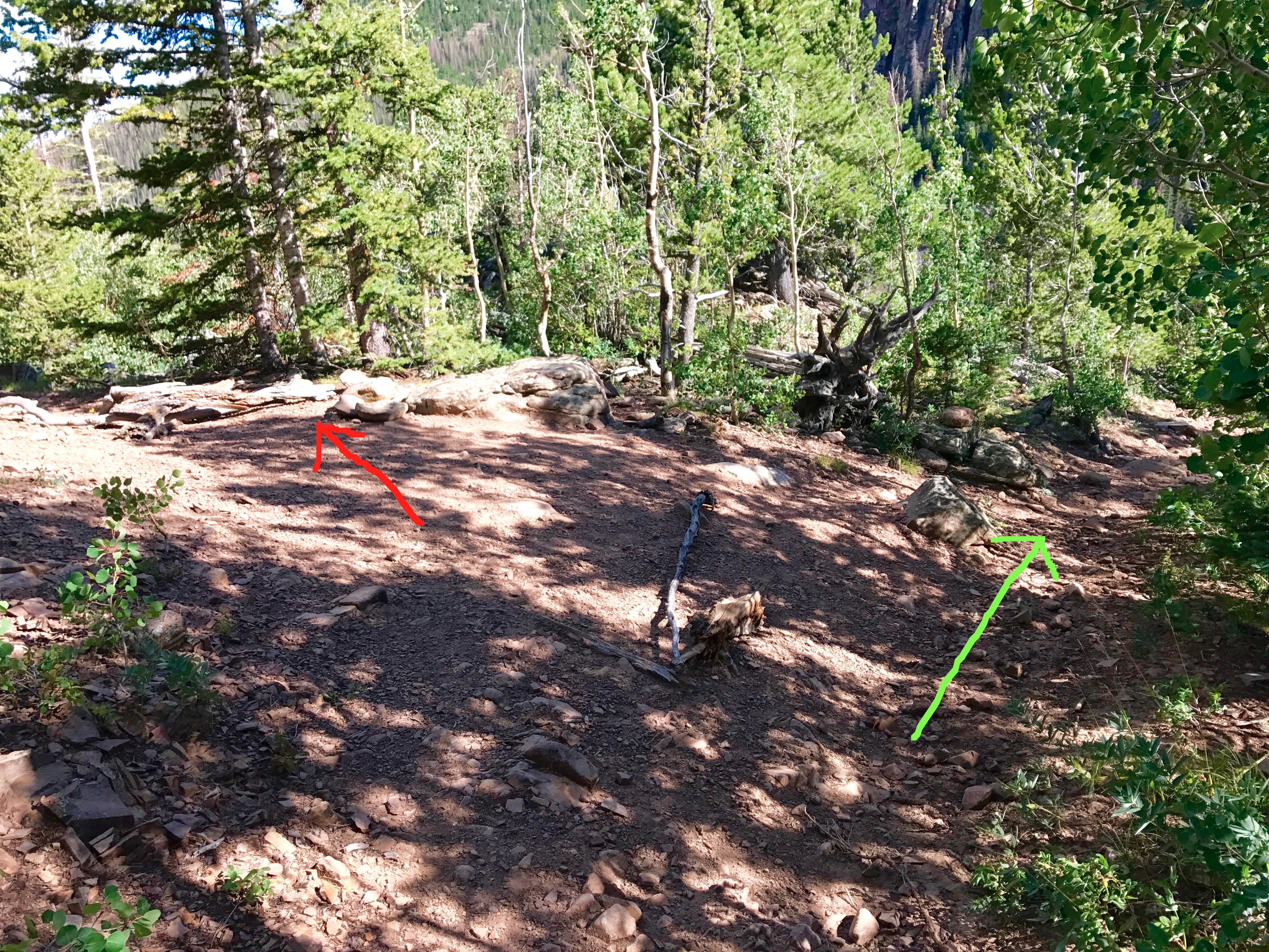
For some reason this trail has tree limbs drug across it at the intersection like it is unusable. Not sure why as I did not go down this way to save time (it’s longer by a couple miles), but the last time I hiked this trail we did go down this way. It is not quite as steep and a more graded trail. It may, however, have trees over it making it hard for horse riders to get through? Not sure.
You slowly move out of the aspens as you go up this second time back into the darker timber. Very few views on this trail and very few open meadows either. After you get to the top of this second climb the climbing gets a bit less steep and moves out more steadily as you head west to the basin at the base of the mountain peaks.There is a small meadow and some potential camp spots in this section of the trail.
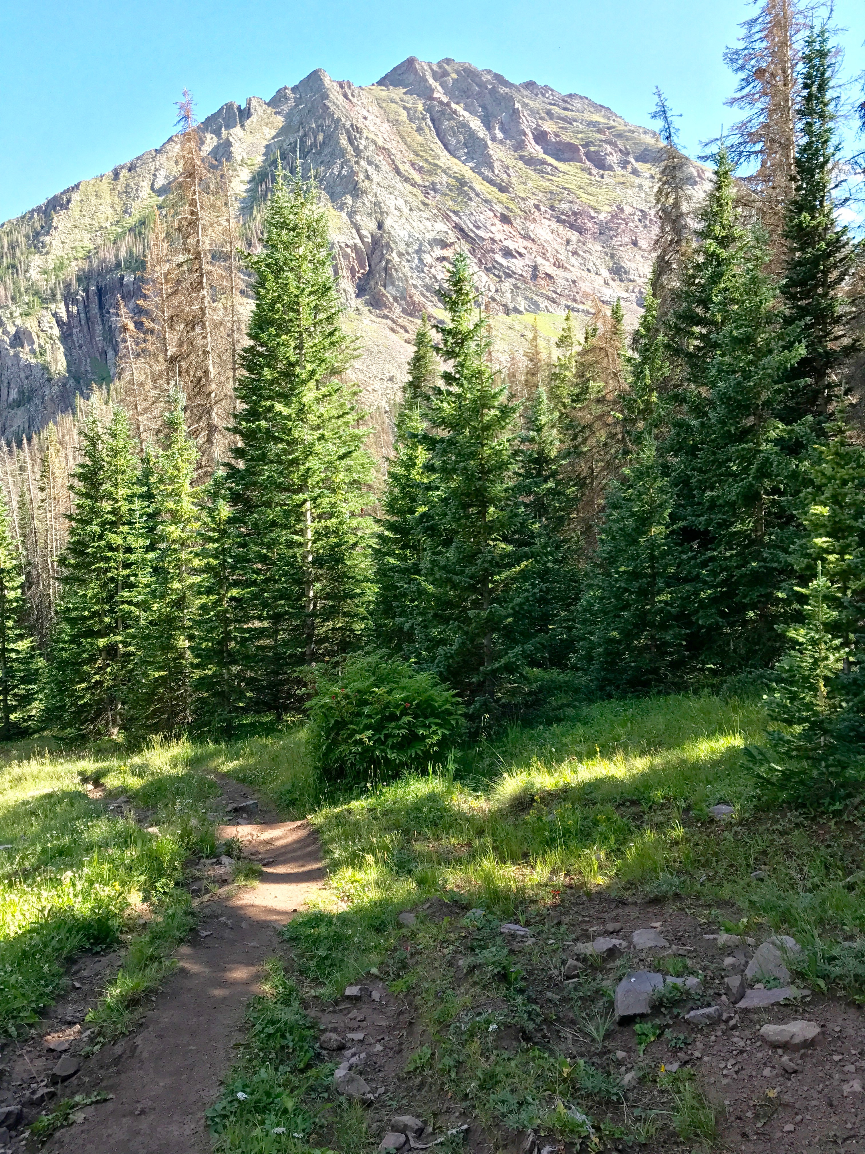
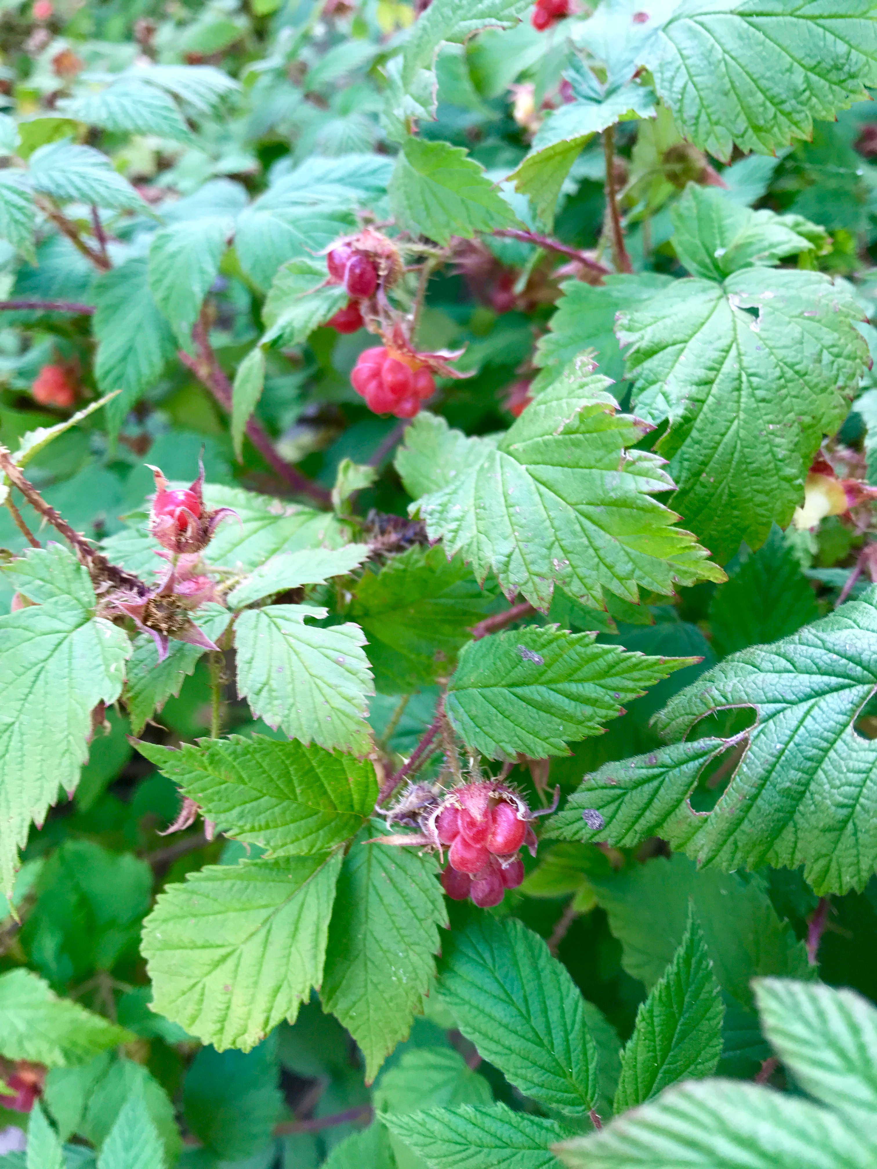
Shortly after the meadow there is one last steep set of switchbacks that are not very long, and then a bit more of gradual trail until you poke out at the first lake a few hundred feet below treeline. On a side not there were raspberries before and on the switchbacks! They were in season and I ate several handfuls. Yes!
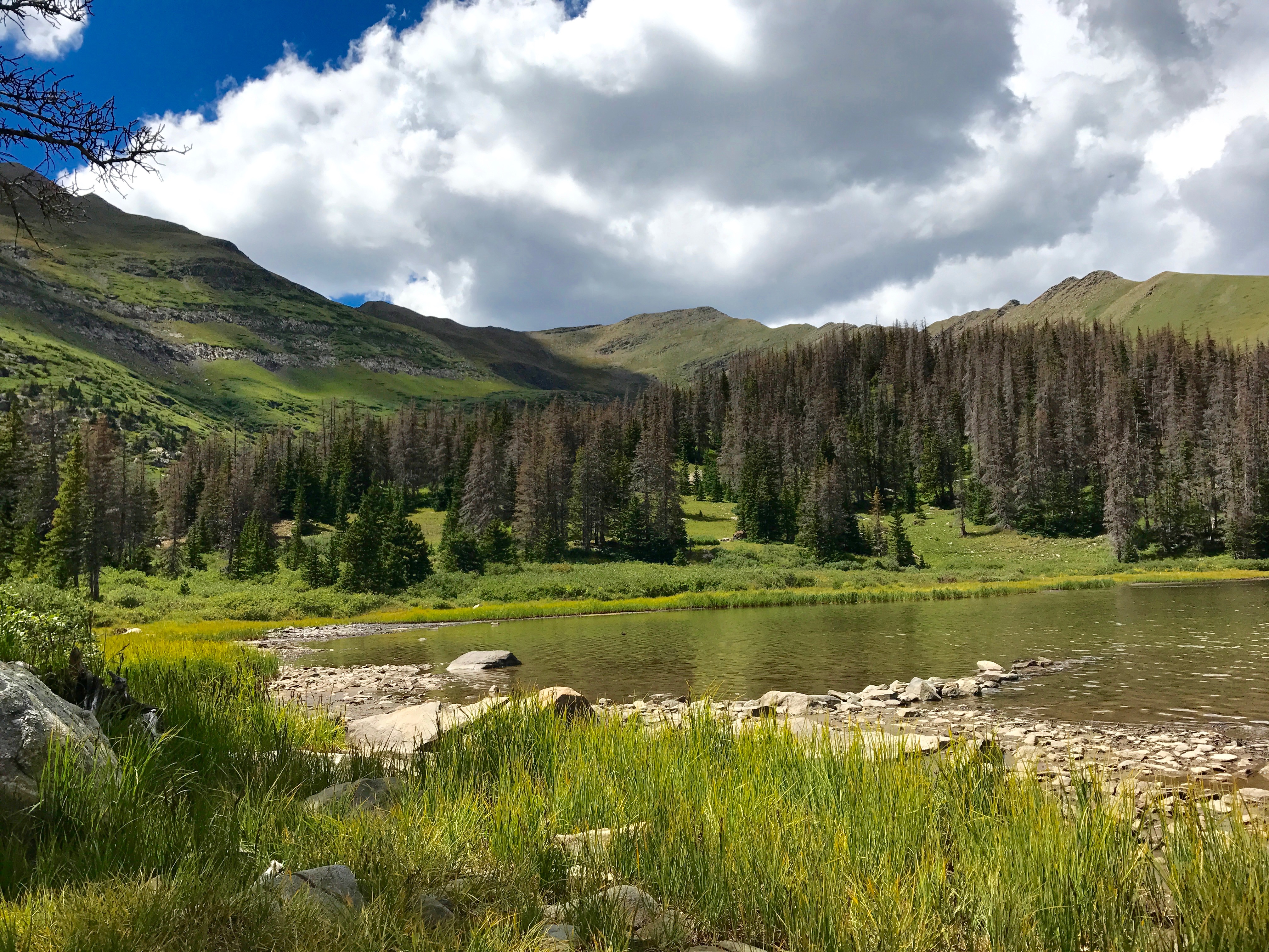
All three lakes have camping spots and access to the lakes. There are three and you continue along the first lake on the north side above the lake to the outflow of the second lake where you cross and continue on past the second lake to the third.

From reaching the first lake to the third lake is about .5 miles. The second lake is by far the hardest to get to with bushes and growth in the way. I saw some horse riders who rode around the opposite side of the lake while I was there. I am assuming they got access from riding around the third lake. There were also people climbing the peaks around the third lake. Some of the best camping seems to be at the third lake which had several parties camped there.
I found my way off the trail by the second lake and ate some lunch and relaxed doing a Bible study as I enjoyed the beautiful surroundings. God is so much easier to concentrate on when you leave other responsibilities at home for the day!

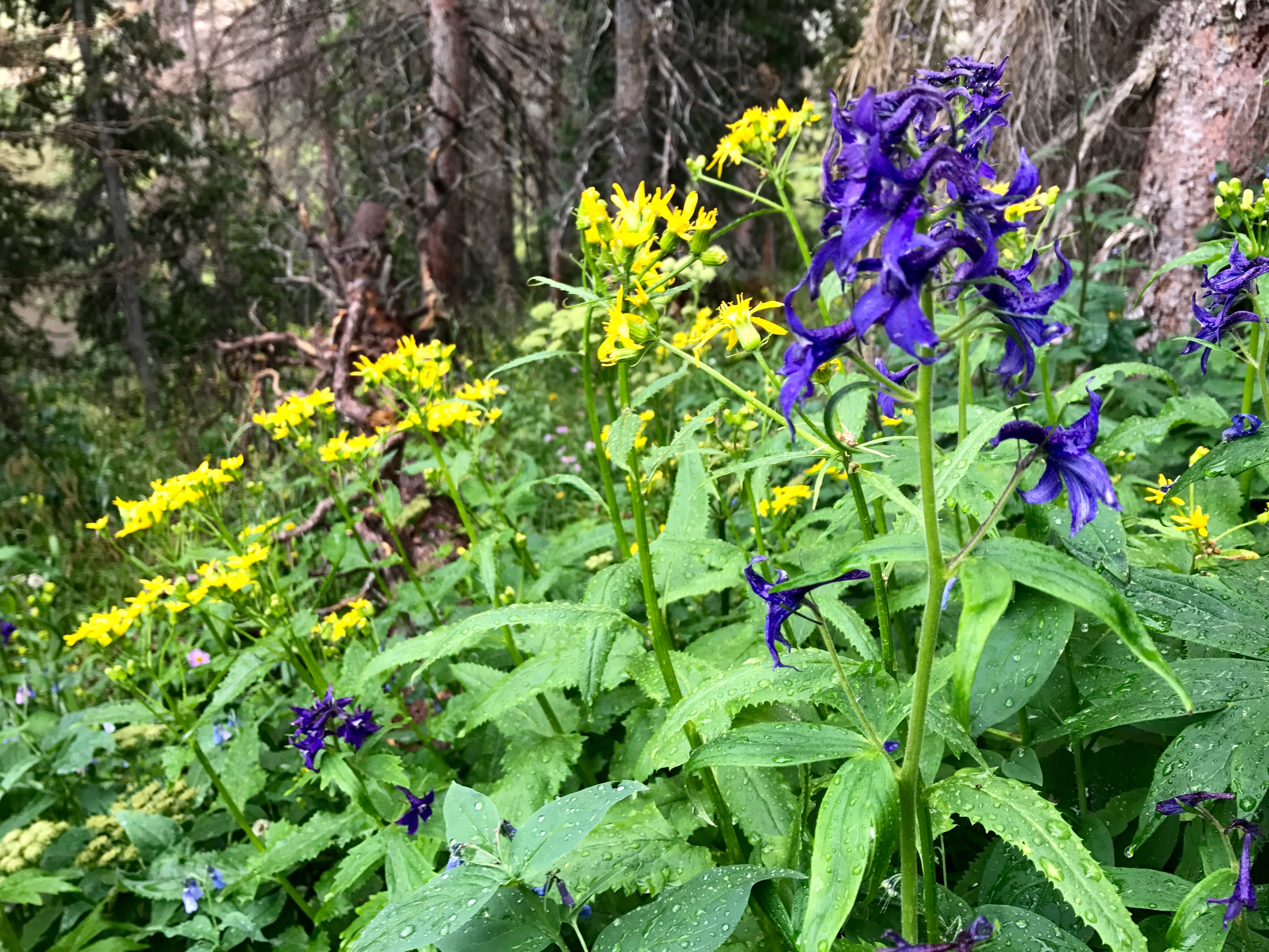
I finally headed down the mountain when an afternoon storm threatened, but not after I enjoyed the sound of the rain on the lake. When the wind picked up I headed into the trees and back down the trail. I took some photos of the wildflowers that were so prominent all along the trail and took my time as I went down on the wet slippery rocks.