Bosque De Oso Use Regulations:
- Public access is prohibited Dec 1-April 30 except for properly liscenced big game and spring turkey and “one” non-hunting companion.
- Campfires allowed only in designated areas and permanent containment structures provided by the Division.
- The discharge of firearms or bows is prohibited except while hunting.
- Discharge of bows is allowed for bow fishing.
- Camping allowed only in designated areas, except by hunters during established hunting season.
- Parking allowed only in designated areas.
- Commercial use of this property without prior authorization is prohibited.
- Unattended food or garbage must be stored in bear resistant containers.
- Snowmobiles, ATV’s, all-terrain vehicles and bicycles on established roads or trails only and may be prohibited to protect wildlife and prevent resource damage. Closures will be posted.
- Fishing is prohibited on the South Fork of the Purgatoire River in SWA from the day after Labor Day Weekend until the first day of Memorial Day weekend.
- Fishing is by artificial flies and lures only. All fish must be returned to the water immediately upon catch.
- All hay or straw brought in must be certified Noxious Weed Free.
- All horses or mules must have health inspection 30 days before entering Colorado (Refer to Big Game Brochure for more information.)
Total Mileage/Elevation: 7 mi
Location: Bosque De Oso SWA, South Fork of the Purgatoire River Rd
This Trail is Good for: hiking, running, horses, bikes, birding, catch and release fishing.
Dispersed Camping Nearby: no
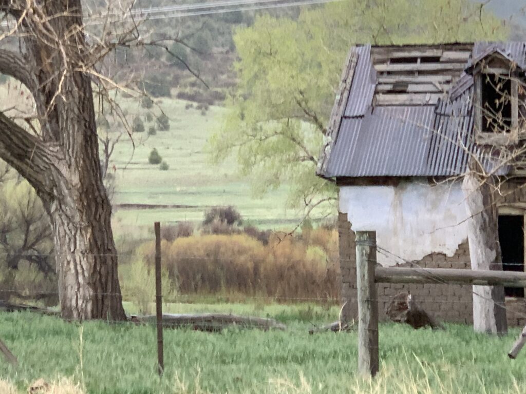
Forest Service Campground Nearby: there is a campground nearby this trailhead in the SWA – the campground on the south end of the SWA. You are required to camp in the campground.
Horse Facilities: Yes! Near the southern campground is a set of corrals for horses and room to park trailers.
Pets: yes, on a leash
Duration of Hike: 3 hours – 2:15 moving
Possible Loops: Possible with Bingham Canyon and cross country navigation skills. Bushwhacking probably required. Would be a very long hike. But interesting.
Time of Year I Hiked the Trail: late May
Time to Nearest Town: Weston, CO 20 min, Trinidad, CO 1hr.
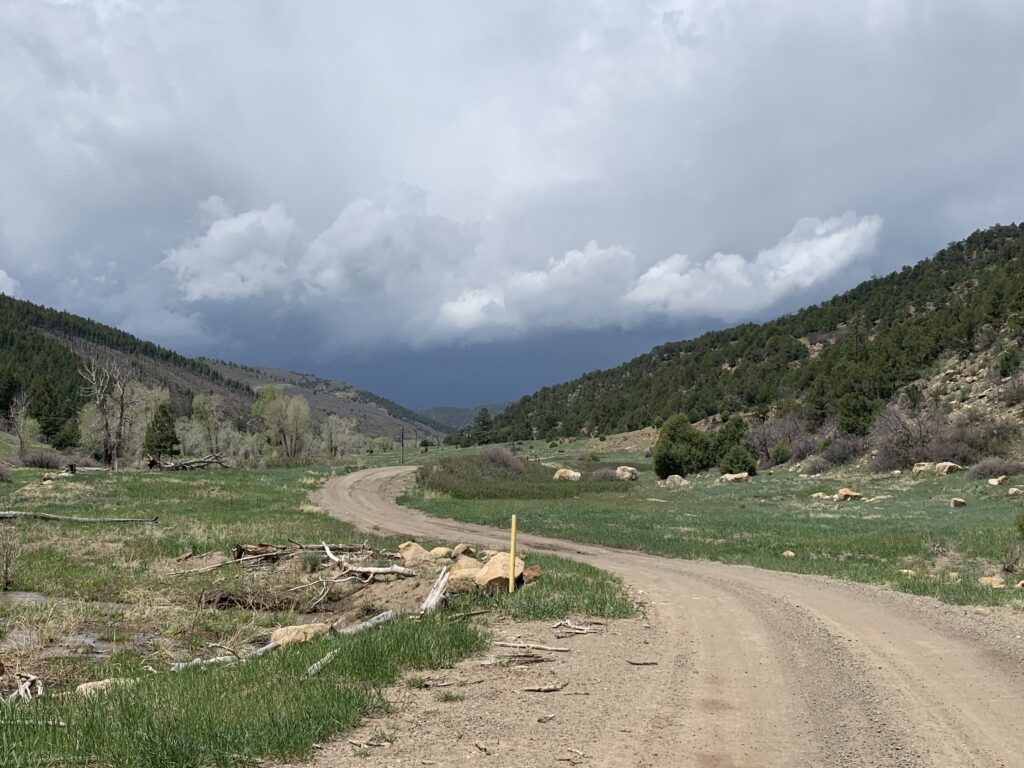
Condition of Approach Roads: All roads were in good condition. Maintained by oil and natural gas companies.
Directions to the Trailhead
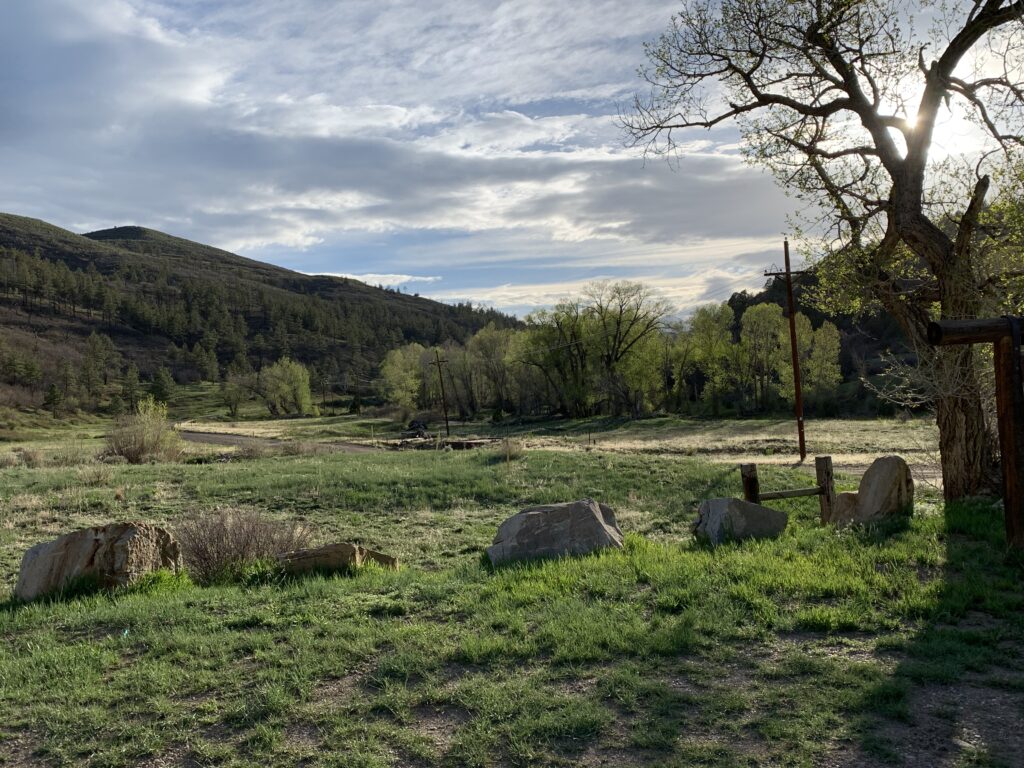
Take Hwy 12 west out of Trinidad to Weston. On the east side of Weston (before you go through the town) take the Bosque de Oso Rd south to the end of the road. To hike the trail take the road past the parking area up the canyon and along South Fork of the Purgatoire River.
Hike Description
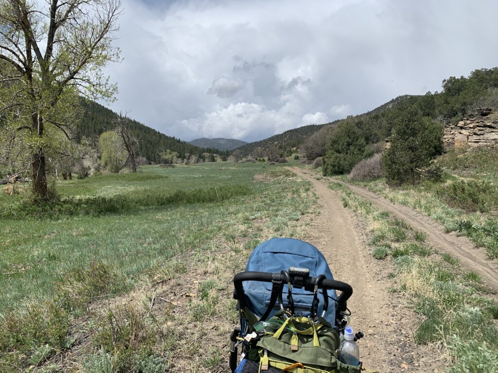
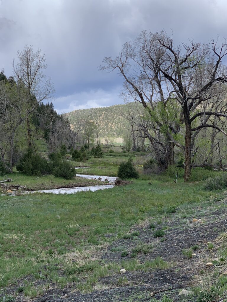
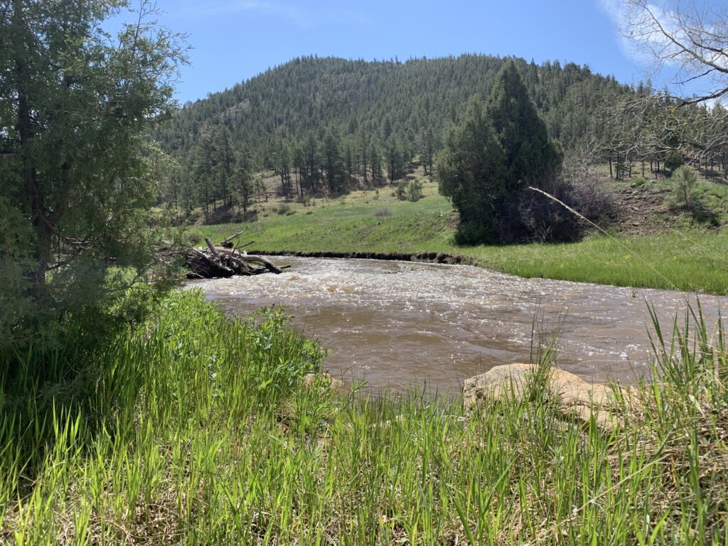
This trail starts out as a continuation of the maintained gravel road that you drive in on. The parking area is apparent, and two trails take off from this point. You can go up Gallegos Canyon to the south or continue up the South Fork of the Purgatoire River to the west. Gallegos Canyon is marked with a sign, however there is not much of a trail. The Purgatoire River follows the road.
The road passes several other hikes as it continues west including Leon Canyon also a road that takes off to the south west, and Bandarito Canyon which takes off to the north west farther along.
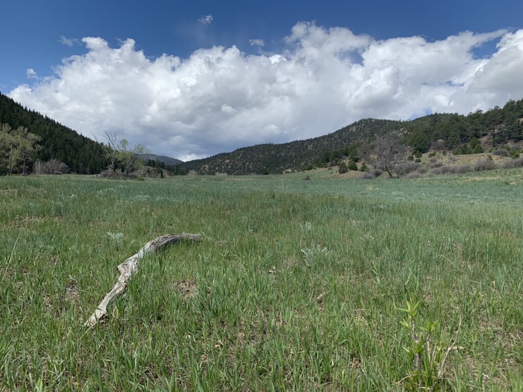
As you walk along you can choose to follow the road, which I did since I had a stroller, or you can walk closer to the river or fish along it. The river is fairly open in some limited places with some willows and trees along it for the most part. It is a pretty walk, although if you take the road it is exposed. It could be fairly hot in the summer.
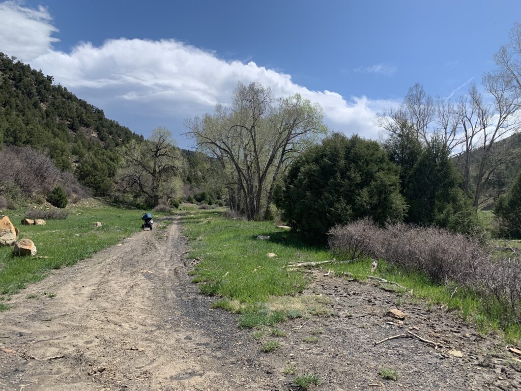
The road does pass several oil pumps and stations and you can hear the hum of machinery through-out most of the valley. However, as you get past the end of the road the sound fades a bit. You reach this point at about 1.9 miles from the parking area.
You can hike a little over a mile past this to the boundary of the State Wildlife Area and private property. My GPS said 3.28 mi. The entrance to Bandarito Canyon is also past the point where the gravel road ends.
There a two-track road that goes past this point and I pushed a jogging stroller the whole way, although it was often out of the tracks.
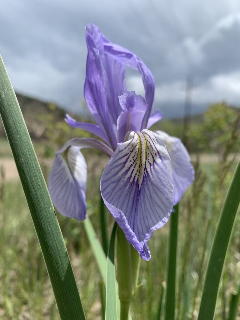
I found that this was a great place to bird. There were birds everywhere in the trees along the river to the hillsides.
This State Wildlife Area opens in May and closes for the winter. But it is a great place to hike and explore while the high country is still full of snow and it’s starting to get hot in the easter plains and canyons.
There are many hikes to do here, most follow the canyons and loops are possible if you are ambitious enough.
Where to Get Maps for This Hike:
TERCIO, CO – Product Number 488178
CalTopo Online Mapping Software- https://caltopo.com/map.html