Total Mileage/Elevation: 5 mi, 2500ft elevation
Location: South of Great Sand Dunes National Park & North of Ft. Garland
This Trail is Good for: hiking
Dispersed Camping Nearby: no
Forest Service Campground Nearby: yes, at the trailhead
Pets: yes, on leash
Duration of Hike: 3-4 hours one way. Steep Trail.
Possible Loops: No
Time of Year I Hiked the Trail: July
Time to Nearest Town: 30 min to Ft. Garland
Condition of Approach Roads: Lots of road work was done very recently up to the trailhead.
Directions to the Trailhead
Take Hwy 160 to Ft. Garland and then Blanca. Just on the west side of Blanca look for State Route 150 north. Approx 4.5-5 mi north and there will be a road on the east side of the highway that leads up to Zapata Falls Trail. Follow this road to the parking area and campground. Take the Zapata Falls Trail to start.
South Zapata Falls Trail
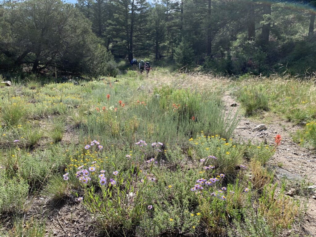
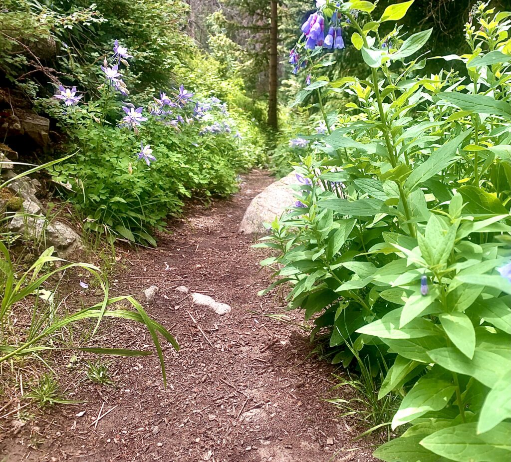
The trail starts at the parking area near the campground. From here until treeline the trail is uphill with varying degrees of steepness. You start in a dryer environment in the foothills with pinions, juniper, cactus, yucca mixed in with pines. The trail is often exposed at these lower elevations, so if it’s the middle of the summer expect it to be pretty warm as you begin to hike if it’s during the middle of the day.
The first mile of the trail is shared by the Zapata Falls trail that leads to Zapata Falls. The trail is wide and fairly heavily trafficked as the trail is short and not super steep. Many people go see the falls and play in the creek. The intersection for the South Zapata Lake Trail is just before you get to the falls. The falls are a nice side trip if you haven’t been there.
After you take the intersection you begin climbing in more earnest. The trail climbs up to a ridge above the falls and begins to move east towards the mountains. There are some great views of the sand dunes to the north off of this ridge before you move into the mountain valleys to the east.
The trail climbs steadily on the north side of the valley created by South Zapata Creek. You are way above the creek for much of the first couple of miles. But you cross south Zapata creek about .5 mile from Zapata Falls. Then you cross a couple of tributaries about 2.5 miles in. Then again at about 4 miles in you cross south Zapata creek. This is great as it provides enough water to prevent carrying too much at one time. 1-1.5 Liters is usually plenty. None of the creek crossings are very deep, although you will get your feet wet if you don’t use the logs to cross.
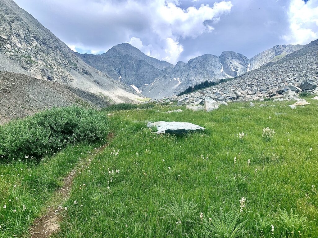
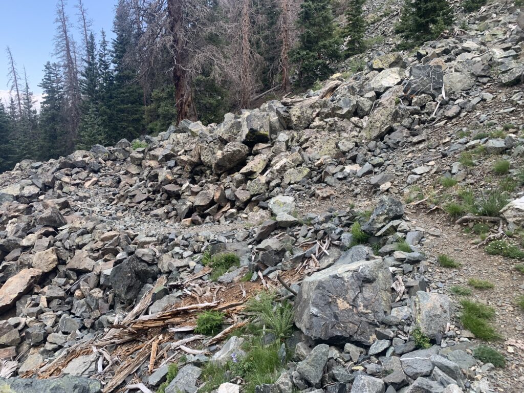
After the last creek crossing you are getting pretty close to treeline. It is only about .5 mile until you hike out of the trees. Shortly after you leave the trees you begin to cross a rock slide area and below you is a little valley. There are some decent camping spots right here. The trees are available for hanging bear bags, and the creek comes out of the moraine just below. It is also more protected than higher in the valley for thunderstorms etc.
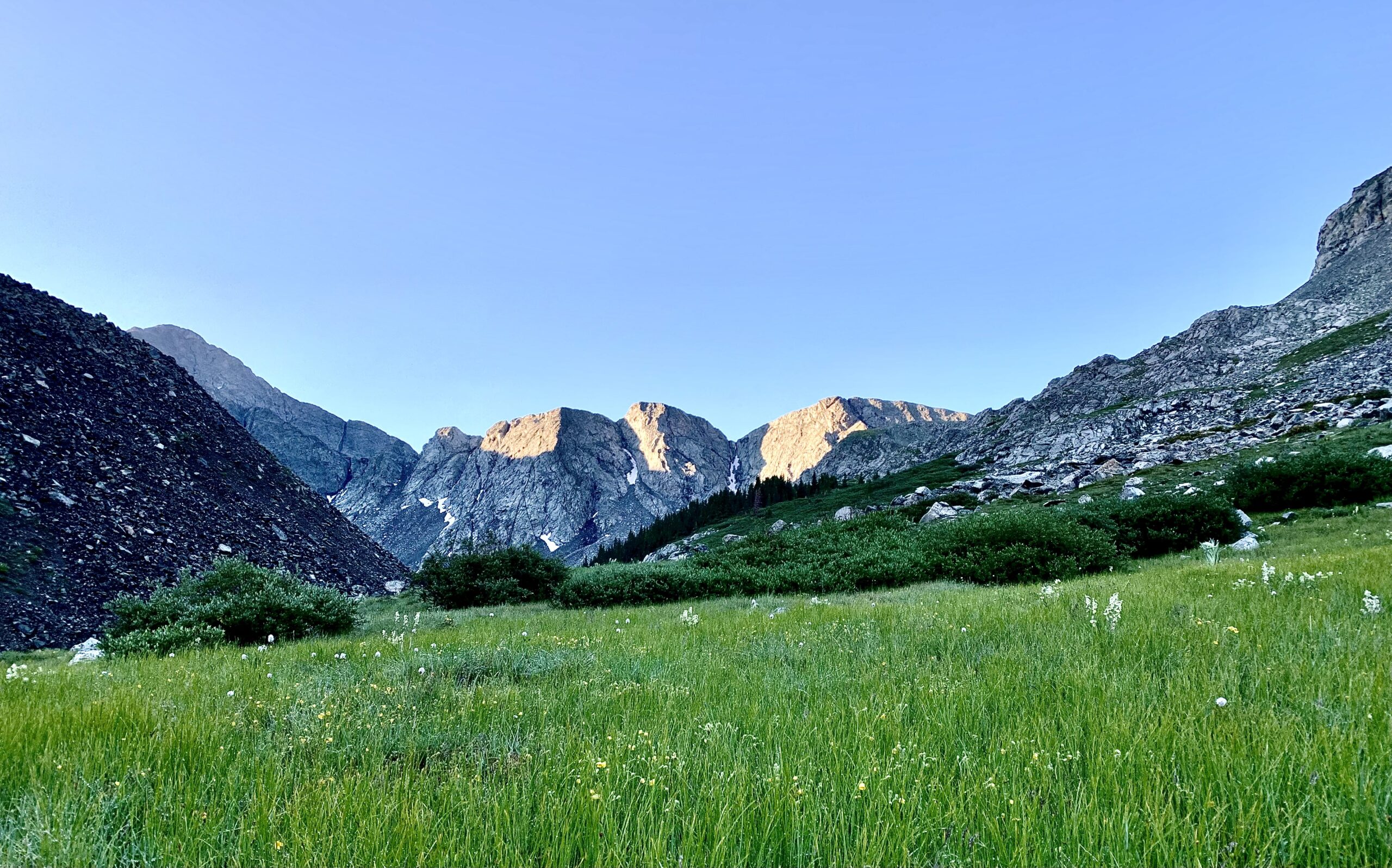
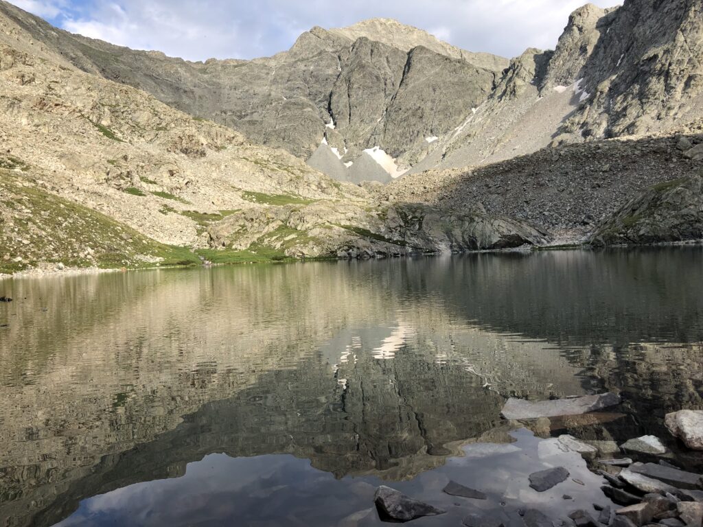
As you continue up the valley, you get stunning views of Mt. Ellingwood. You cross a marshy area and climb a bit again to a small pond, then continue past that the main lake area. The lake isn’t very large, but it is really very beautiful with Mt. Ellingwood directly behind it and the sheer cliffs and ridges all around. There are many camping spots around the upper lakes.
We experienced an intense thunderstorm while we were up there that afternoon, so just be aware of the exposure at the lakes. There is no cover.


Where to Get Maps for This Hike
Twin Peaks, CO Product Number 512021
CalTopo Online Mapping Software- https://caltopo.com/map.html