Total Mileage: 8.5 miles roundtrip according to Runkeeper App. And about 560 feet elevation gain going up the mesa from the valley floor.
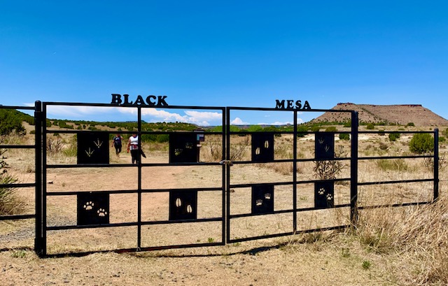
Location: North of Kenton, OK in the very western part of the Oklahoma panhandle.
This Trail is Good for: Hiking, bird watching, wildlife (occasionally big horn sheep in the area)
Dispersed Camping Nearby: No, Camp at Black Mesa State Park east of Kenton, OK and west of Boise City, OK.
Forest Service Campground Nearby: No
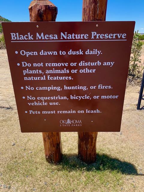
Pets: Yes, on a leash
Duration of Hike: about 4 hours
Possible Loops: No
Time of Year I Hiked the Trail: I hiked this trail May 29 from 8am-12pm. It was warm/hot in the 90’s. I would recommend earlier, but lots of people hiking this day. I would recommend earlier in the spring, late fall (late Oct-November) or a great winter day hike.
Directions to the Trailhead
From Kenton, OK, go east on Highway 325 for half a mile, then turn left (north) on a county road for 5 miles. It is fairly obvious and a blacktop road. Right across the highway from Camp Billie Jo. The parking lot and Nature Preserve will be on the left about several miles up this road on the north side of the mesa.
Time to Nearest Town: 40 minutes to Boise City, OK.
Condition of Approach Roads: Highway 325 is paved and the road that you turn north on is also paved, although not as smooth.
Trail Description
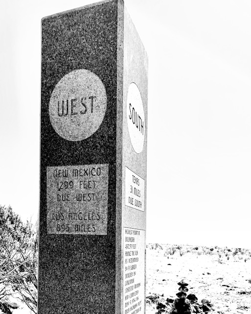
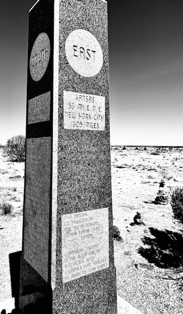
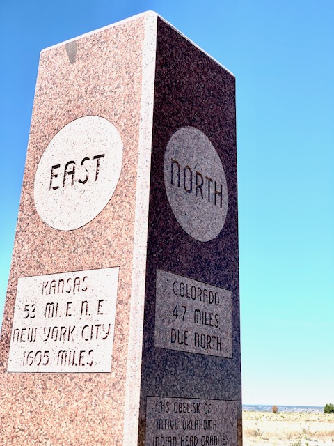
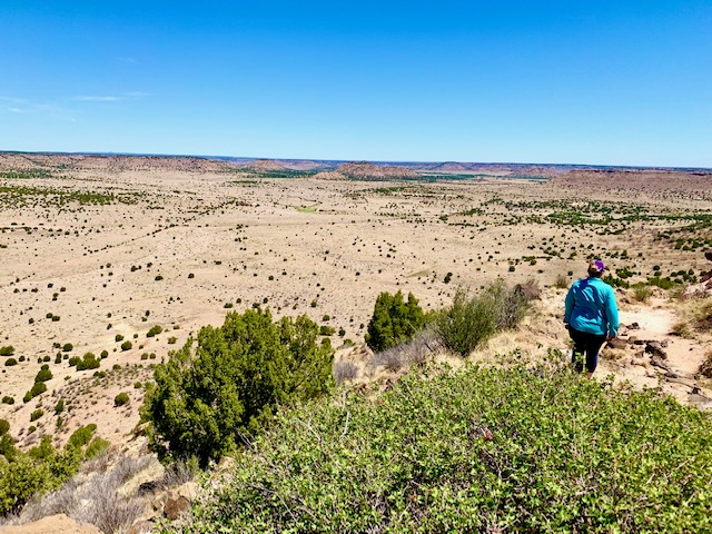
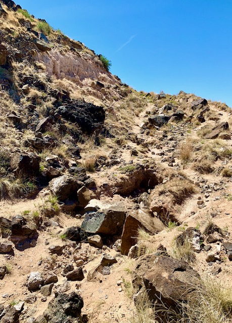
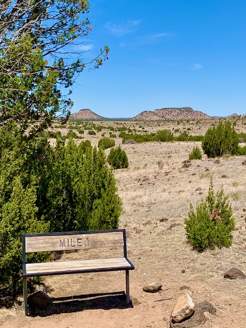
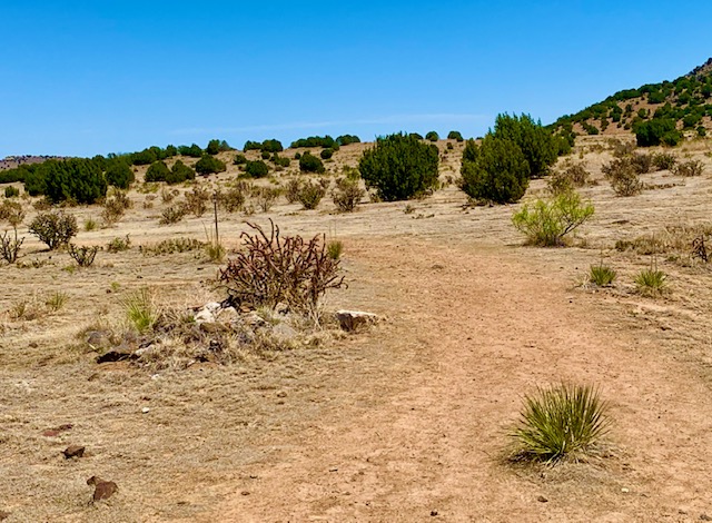
The trail follows a valley along the north side of Black Mesa for about 2 miles then turns and goes up the side of the mesa and across the top for about ¾ mile to the monument. The trail up the valley floor winds through juniper and cactus grasslands. On top of the mesa there are views of the surrounding area and fewer trees. The monument sits right along the OK/NM state line. As an interesting side note, the trail head is only a few miles to the south of the CO/NM/OK corner- which you can drive to. Once you get to the high point monument there is interesting information on it in all directions. Kind of fun. There is also a great view off the south side of the mesa if you walk over to the edge of the mesa from the monument. It is worth the short walk. You can see the town of Kenton in the valley below. The south side of the mesa is much steeper so it seems like a much more dram


Where to Get Maps for This Hike:
CalTopo Online Mapping Software- https://caltopo.com/map.html