Total Mileage: We hiked 5.1 miles round trip according to Runkeeper App. And about 700 feet elevation gain from the trail head to the meadow. Although the elevation gain can go up to 950ft and mileage up to 7 miles round trip if you finish the trail to where it connects with the Bear Lake/Trinchera Peak Road. There is a last climb to gain the ridge after the meadow.
Location: Just north of Monument Lake on Hwy 12 take County Rd 34.5 west off of Hwy 12. This road takes you to North Lake State Wildlife Area and to the Purgatoire Campground. Once you turn drive 4 miles up a gravel road to the campground and the trailhead is in the campground with a parking area at the trailhead for those not camping.
This Trail is Good for: Hiking, bird watching, backpacking, mt. biking, horses
Dispersed Camping Nearby: Possible dispersed camping in the State Wildlife Area below the campground, although you will need a fishing and or hunting license to use this area. Over night camping at the Purgatoire Forest Service Campground with paid camp spaces.
Forest Service Campground Nearby: Yes called Purgatoire Campground (Different on different maps)
Pets: Under Control. This is not an extremely heavily used trail, but is right in a campground, so a leash is a good idea, especially for the first part of the trail.
Duration of Hike: Varies – to the meadow about 1.5-2 hours. Possibly faster. Longer if you intend to connect with FS 4WD Road up Trinchera Peak.
Possible Loops: Yes, but you will need good route finding skills. There is another trail that takes off from this one about a mile in #1394 and goes up to the east on top of a ridge and parallels the trail and then meets up with it on the pass to the FS road that goes up to Trinchera Peak and down to Blue and Bear Lakes. This trail is very faint. The trail #1394 also begins at an obscure trailhead at Coal Creek a couple miles north on Hwy 12 past CR 34.5. There is no sign on the highway to this trailhead. Probably best accessed from Purgatoire Trail.
Time of Year I Hiked the Trail: I hiked this trail June 2. Most years this trail should be good from the mid-end of May through November. However, there can be snow still on the trail in the shoulder seasons. There were patches of snow in the high meadow on June 2. This was not a big snow year.
Directions to the Trailhead
From Trinidad take Hwy 12 toward Cuchara to Monument Lake. Just past Monument lake on a turn there is a Forest Service Road 34.5 that goes to North lake State Wildlife Area and Purgatoire Campground as well as North Fork Trail. It is 4 miles up the gravel road to the trail head. You can pull smaller-mid size RV trailers up this road although there is a lot of washboard.
Time to Nearest Town: About halfway between Trinidad and LaVeta. Cuchara is probably the closest town. Turn to trail off of Hwy 12 is about 27 miles south of La Veta.
Condition of Approach Roads: Hwy 12 is a Colorado Scenic Route and is a good highway. It is slow and has lots of slow curves. The distance between Trinidad and La Veta is 59 miles taking approx. 1.5 hours to drive.
Trail Description
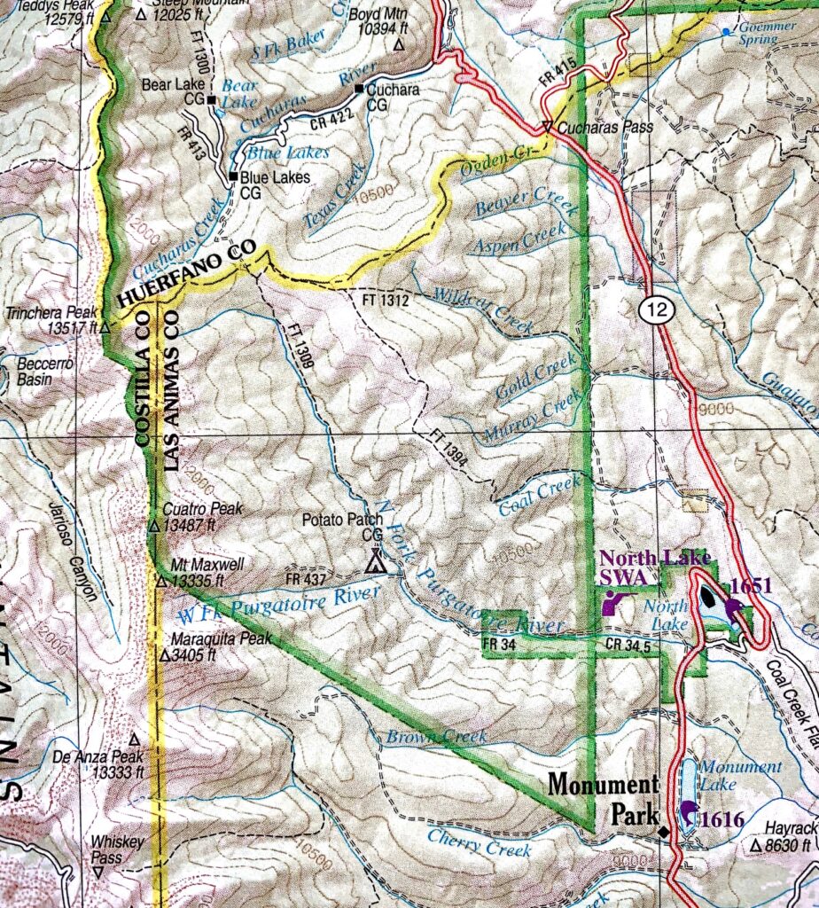
The North Fork of the Purgatoire or the North Fork Trail #1309 follows the North Fork of the Purgatoire creek up the valley to a meadow about 2 miles in. The trail continues past the meadow and climbs up to gain a ridge and then connects with the 4WD road that goes up to Trinchera Peak or down to Bear and Blue Lakes. The trail climbs steadily, but it is not extremely steep being more of an easy/moderate climb. The trail gains 550 feet by the time it reaches the meadow and starts at around 9750 ft elevation. It is mostly a forested walk with a creek close to the trail for the first half mile then climbing a bit before re-joining the creek farther up. You will pass a pond, and a little before the pond is the turn to access trail #1394 on top of the ridge to the north and east. Near the pond are also some ruins of an old cabin or building.
The trail crosses the creek twice with both crossings usually having logs or rocks that you can use to get across unless flood has taken them away. The creek is about 1.5-2 feet deep if just crossed by foot. After the second creek crossing there is a small meadow walk again and then you ascend through the trees to the second larger meadow that is about 1/3 mile long. There are trees in the middle of the meadow, but it extends farther up the valley a bit. The meadow is a really pretty place and a great destination for a shorter day hike or picnic. Would also make a good overnight spot as the creek runs all along the west side of the meadow. The trail continues on to the north and up the ridge eventually intersecting the Tinchera/Bear and Blue Lake Road about 11/2 miles farther on.
Where to Get Maps for This Hike:
Trinchera Peak, CO & Cucharas Pass, CO – http://store.usgs.gov
CalTopo Online Mapping Software- https://caltopo.com/map.html
Pike and San Isabel National Forest Link
https://www.fs.usda.gov/recarea/psicc/recreation/hiking/recarea/?recid=12769&actid=50
Forest Service Contact Information
Pike & San Isabel National Forests, Cimarron & Comanche National Grasslands
2840 Kachina Drive
Pueblo, CO 81008
(719) 553-1400
TTY: (719) 553-1404
M-F, 7:30am–4:30pm

drive in 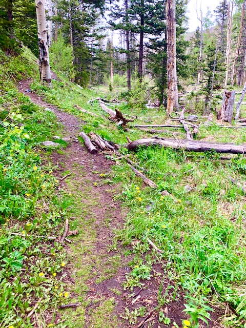
below meadow 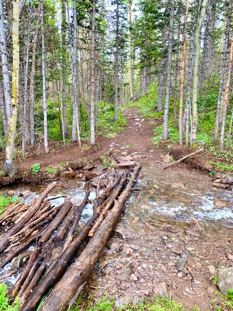
first crossing 
below meadow 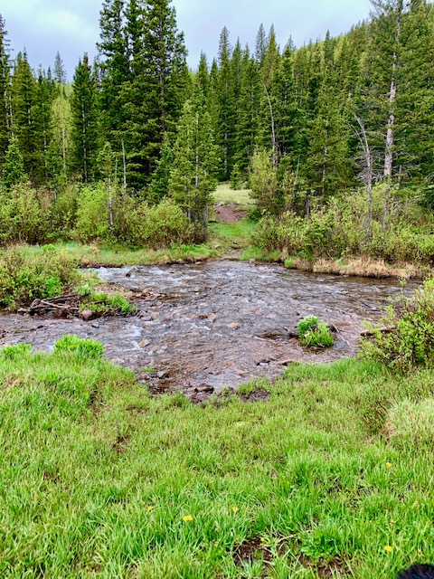
second crossing 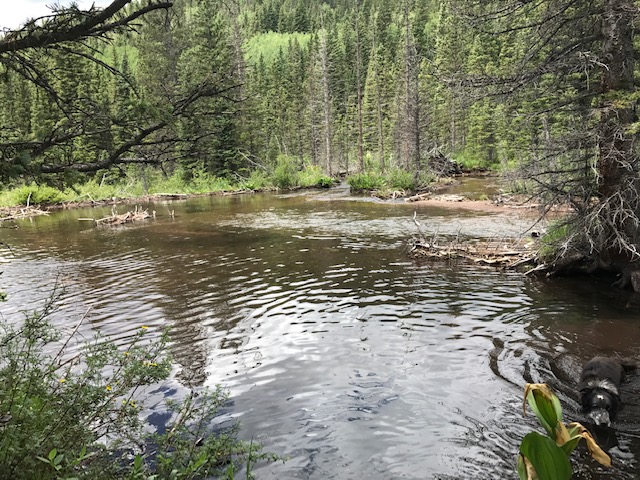
pond along trail 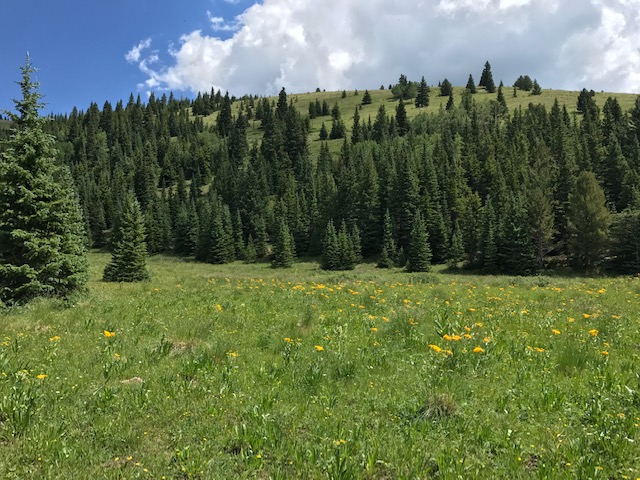
meadow 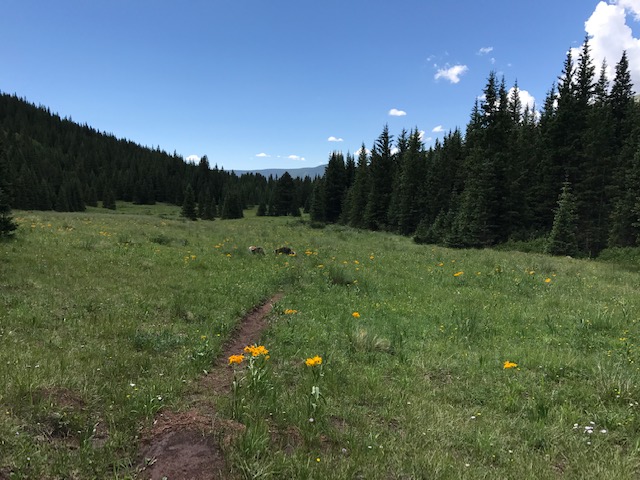
meadow 
meadow 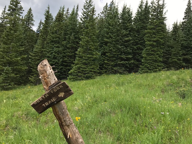
sign pointing up the ridge 
trail on top of the ridge 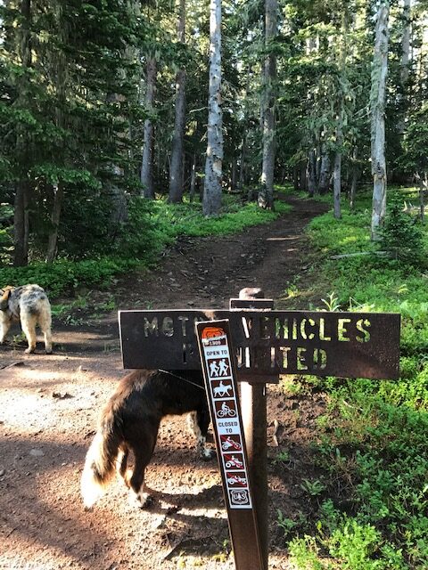
intersection with Trinchera Peak Rd