Total Mileage: 1 mi up Trinchera Peak Rd (I came from the north) to the Trail head then 1 miles up the Ridge trail that leads to Coal Creek or Wildcat Creek, then back down and 2.5 miles down the North Fork Trail to explore it. Total mileage approx 9 mi.
Location: Cuchara, CO
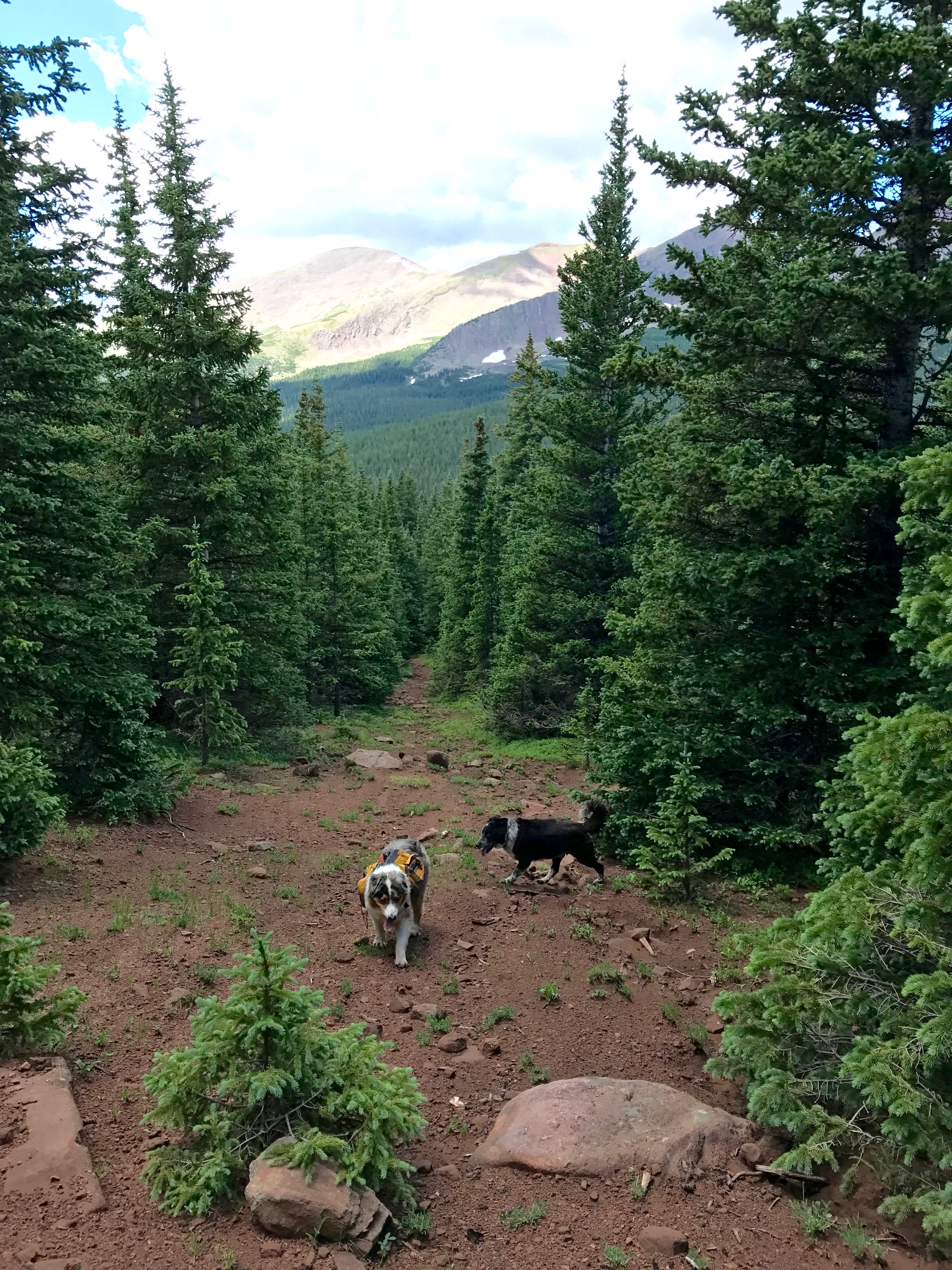
This Trail is Good for: Hiking, Backpacking, Horseback Riding, Creek Fishing
Pets: Undercontrol, but not necessarily on a leash.
Duration of Hike: I hiked for approx 5 hrs.
No: ATV
Possible Loops: With top part of Coal Creek Trail and Wild Cat Trail or Peak bag trip to Trinchera Peak Road.
Time of Year I Hiked the Trail: July 18, 2017
I took an overnight camp trip and ended up not being able to get to the trails I found on the map due to private land along Hwy 12 between Stonewall and Cuchara. So, I ended up driving up Cucharas River Rd. and up another 4WD road looking for dispersed camping. I saw this trail head as I hiked up Trinchera Peak Rd the evening before and decided to explore it.
Directions to the Trailhead
Hwy 12 to Cuchara and just to the south turn west on Cucharas River Rd towards Cuchara Campground. The same road also goes to Blue and Bear lakes. After Blue Lake or in that area turn off on Trinchera Peak Rd (or an unnamed 4WD Rd) that indicates some dispersed camping. There is some sort of shed near the intersection on the norhtern corner. There is a small parking area less than 1/4 up the road. The road gets significantly less hospitable after the parking area and is 4WD only. I went up another 1/2-3/4 mi up the road to a pullout and small camp area. This is where I camped.
Time to Nearest Town: 45 min to Cuchara
Condition of Approach Roads: The forest road up to Blue lake is well maintained and RV’s can be hauled up it. The Trinchera Peak Rd is a 4WD road and would be very hard to travel if very wet – even in 4WD.
Trail Description
I hiked back up the Trinchera Peak Road to the trail head I had seen as I hiked the evening before. It was approx 1 mi from where I was camped to the trailhead.
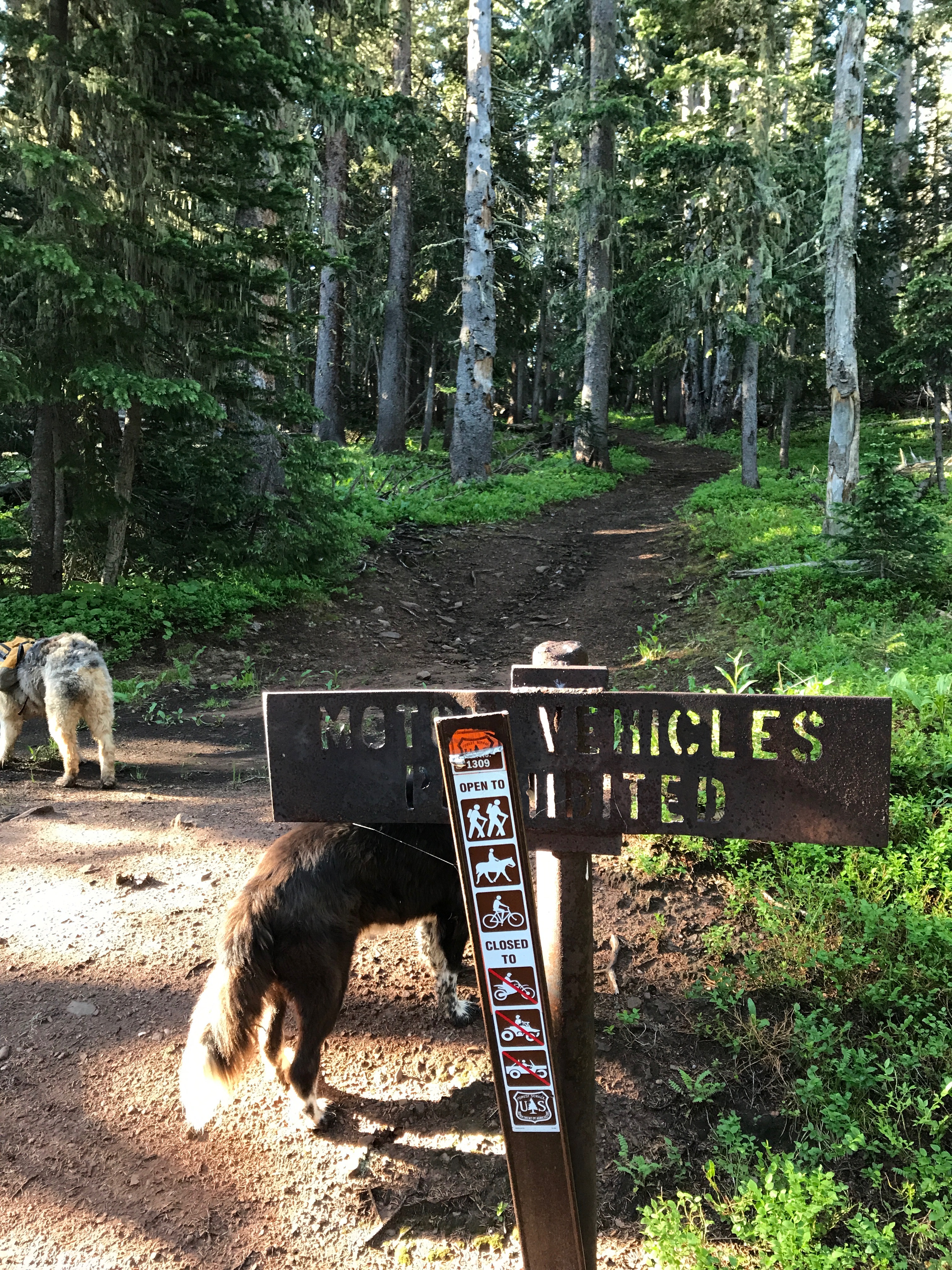
The trail went across a saddle along a ridge and dropped off the back side of the ridge I had climbed up from my campsite. Before it drops however, there is an old trail that gains a ridge and supposedly goes off to Wildcat Creek drainage or Coal Creek drainage.
I followed it from the intersection up to the ridge and then lost it. I hunted around a bit but was really looking for a place to do a Bible study, which I proceeded to do for a couple of hours. It is beautiful up there on that ridge and very remote feeling – a feeling of disuse surrounds that whole area. From the western end of the ridge where I was you have an awesome view of Trinchera Peak and the road that I walked up yesterday evening.
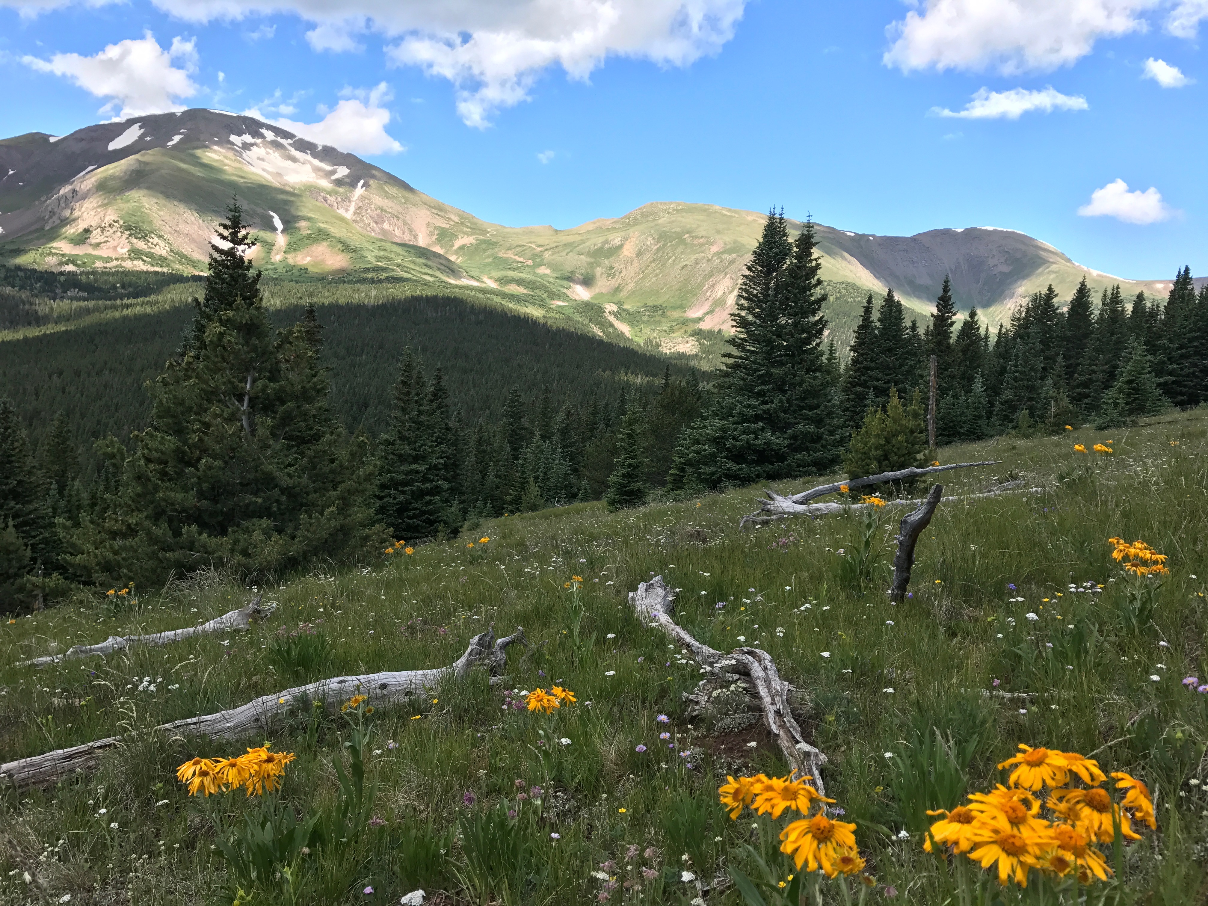
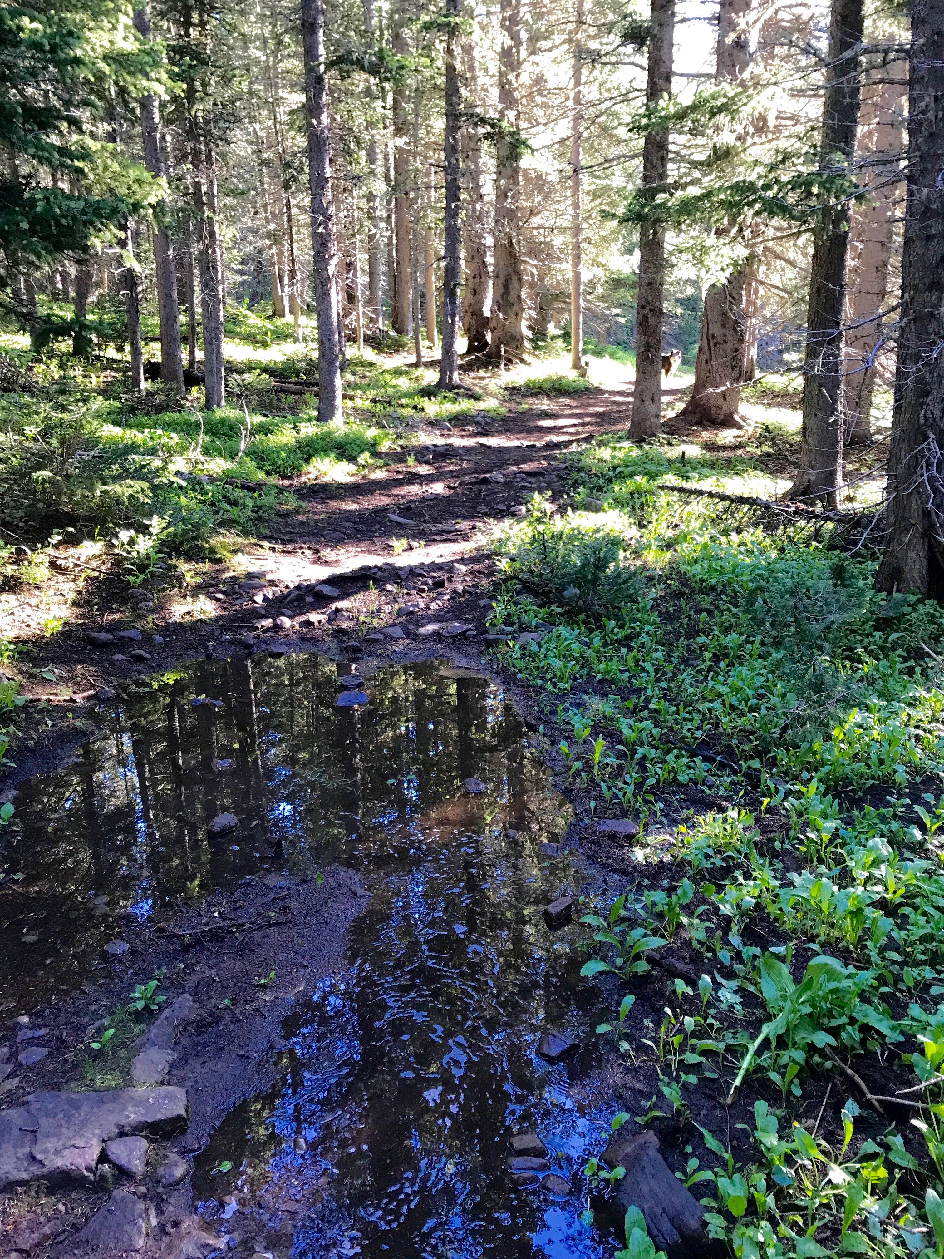
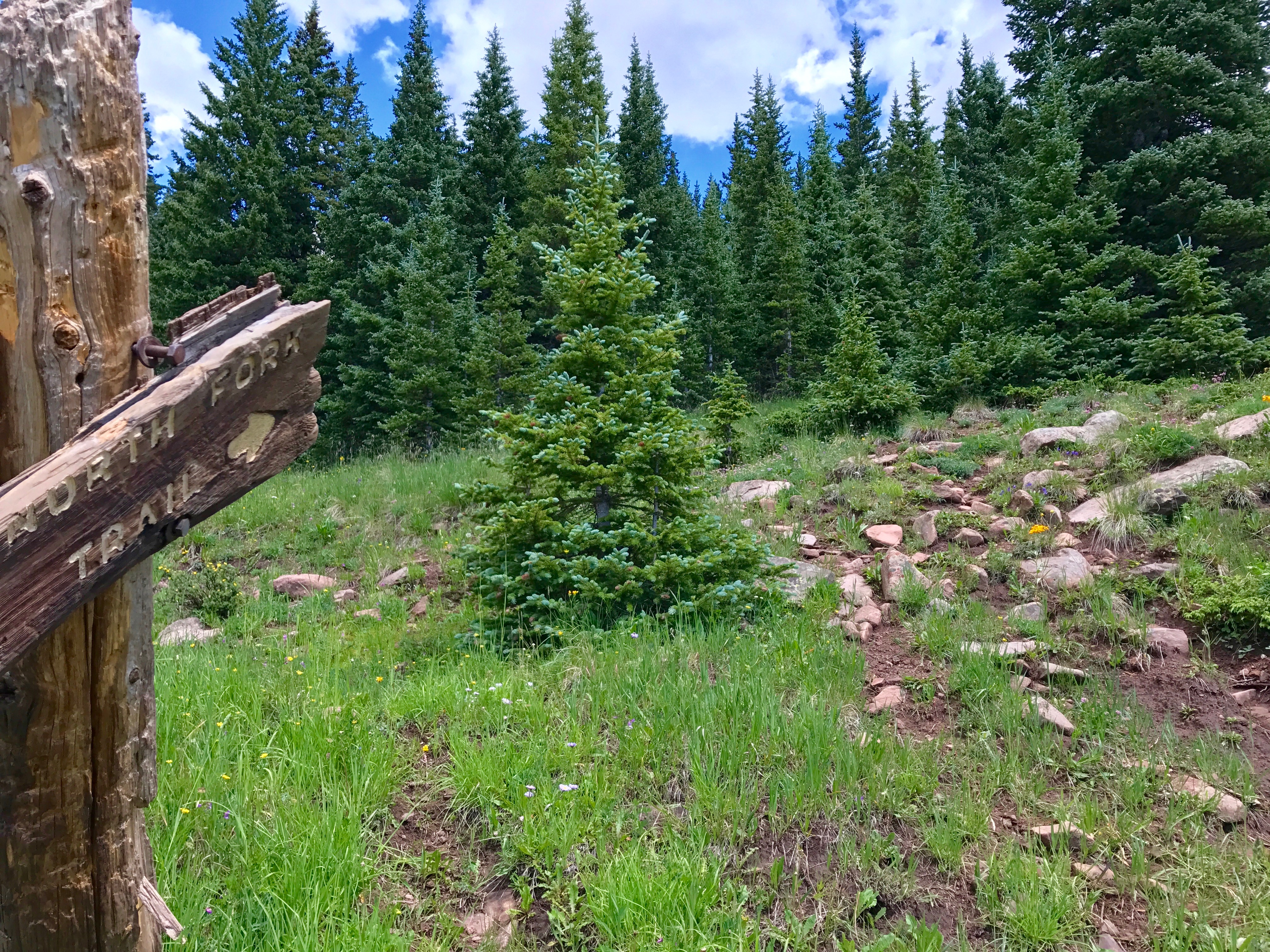
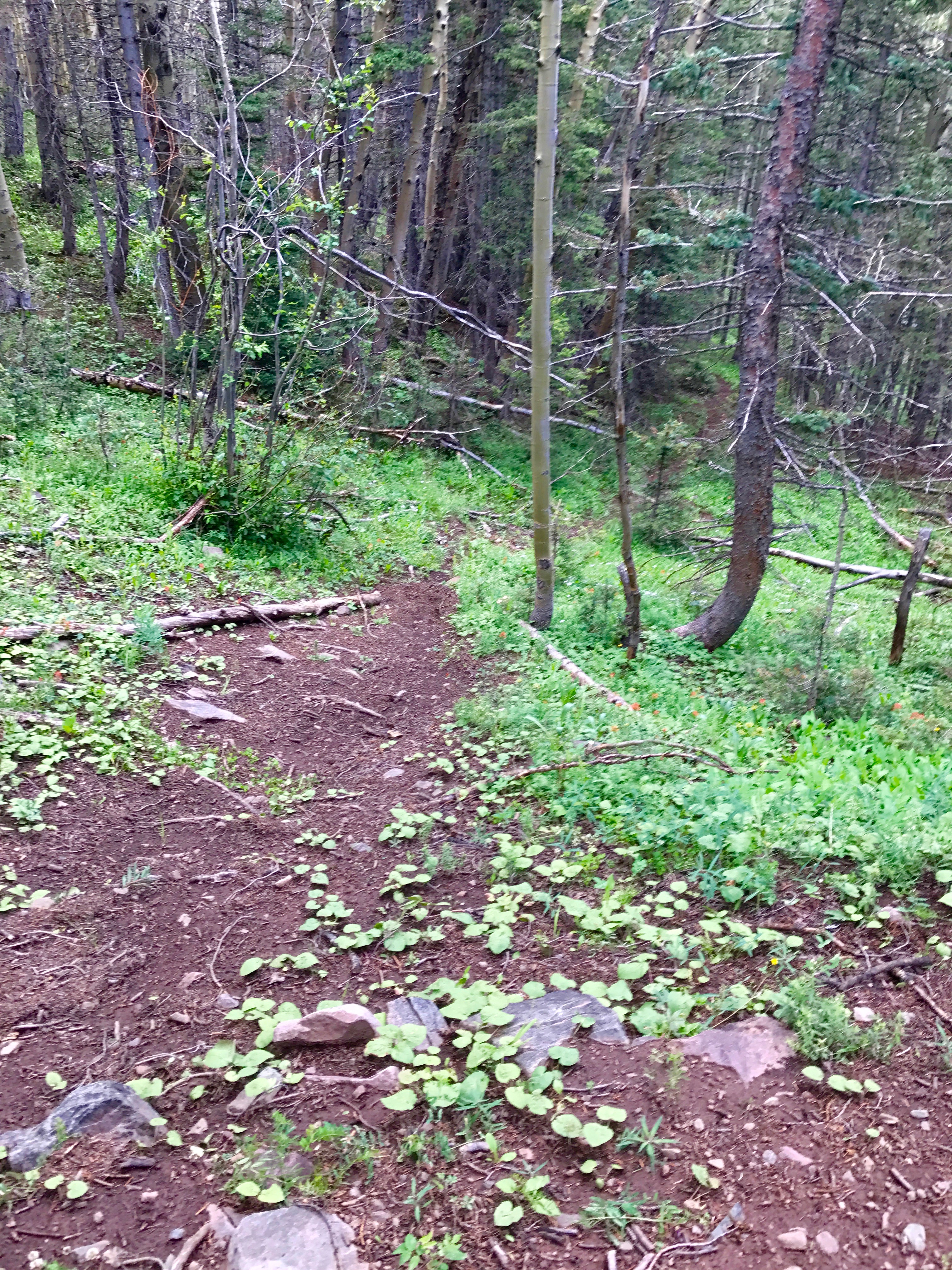
The only people I saw were two hunters scouting for elk hunting this fall. They told me that as of the morning (before) they scoped all the open meadows and parks from the ridge and saw herds of elk in every one. It doesn’t surprise me, lots of dark downed timber up along the flanks of the Sangre’s. As I said the trail faded out and I hunted for awhile but decided I wanted to see where the North Fork Trail went too and so I abandoned the trail on the ridge (I will have to come back!) for the North Fork Trail that followed the North Fork of the Purgatorie River down in the valley below. Once I reached the trail I had branched off of again (not very far .5 -.6 mi?) the trail quickly broke out of the trees and headed down to the valley below. For the most part this trail is easily followed, but occassionally it can become a bit vague on the hill down to the creek.
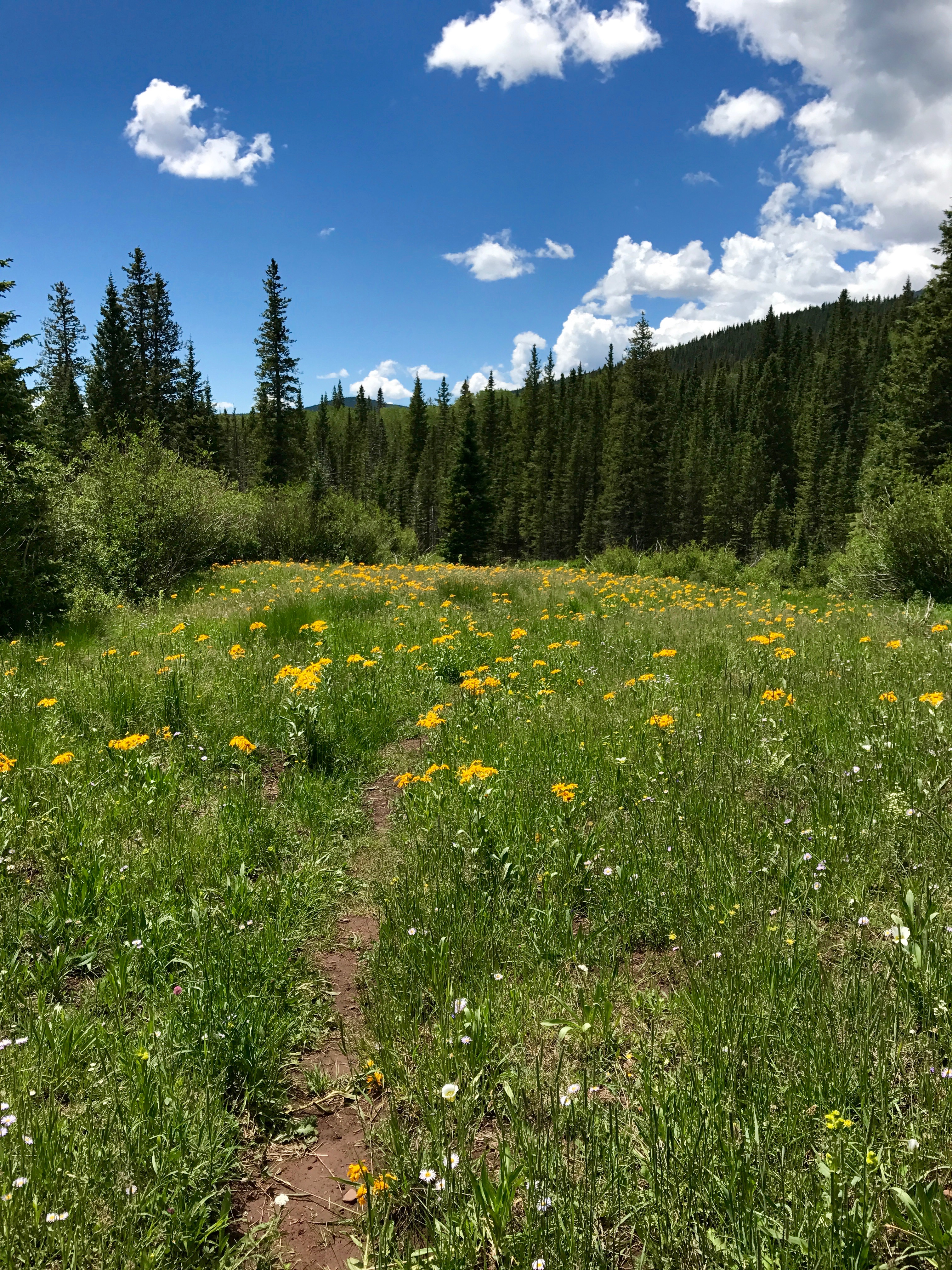
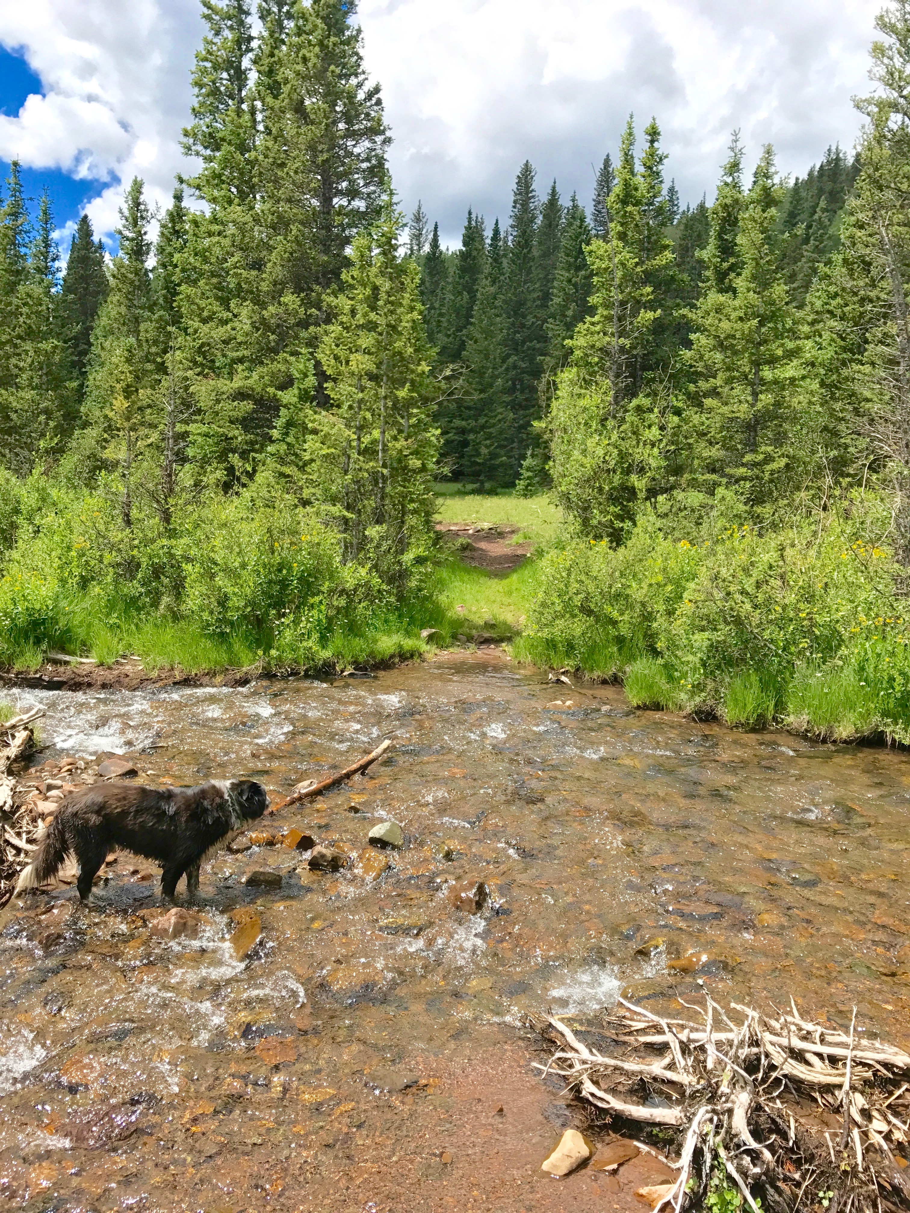
The trail wove in and out of trees into one of the most beautiful meadows I had been in for awhile. The rain makes beautiful flowers and green grass! The creek ran along one side of the meadow. Beautiful place to be.

I continued however to see where the trail went. I hiked for a couple of miles and finally decided to turn around as it was getting on toward evening and I still had to drive home. I had hoped to recognize the trail before I turned around as last summer I was sure I had hiked in about a mile on this trail with my brother and sister-in-law and two nieces. It felt the same and I am sure it spills out at the campground we stayed at. But I never did recognize any land marks. So, I was either on a different trail or didn’t go far enough. I am pretty sure I only had about a mile to go before the other end of this trail according to the GPS and my guess. Along the trail below the big meadow were many smaller meadows, beaver ponds which had several trout swimming around, and a creek crossing that I just plunged through enjoying the icy water.


Anyway, there is another trail that takes off from the North Fork Trail, marked only by i’s on the trees and arrows on the trees around the area. The trail heads east to go where I don’t know. Maybe to a little pond off the trail, but possibly over to the ridge trail. I need to find out! Another trail to explore more fully!
I headed back up the trail and through the meadow and up the ridge, across the ridge to the Trinchera Peak Trail and back down the road to the pick up. It had been threatening rain all day and it was finally making good on that promise so I tore down camp and headed out back to home.